Location and Extent
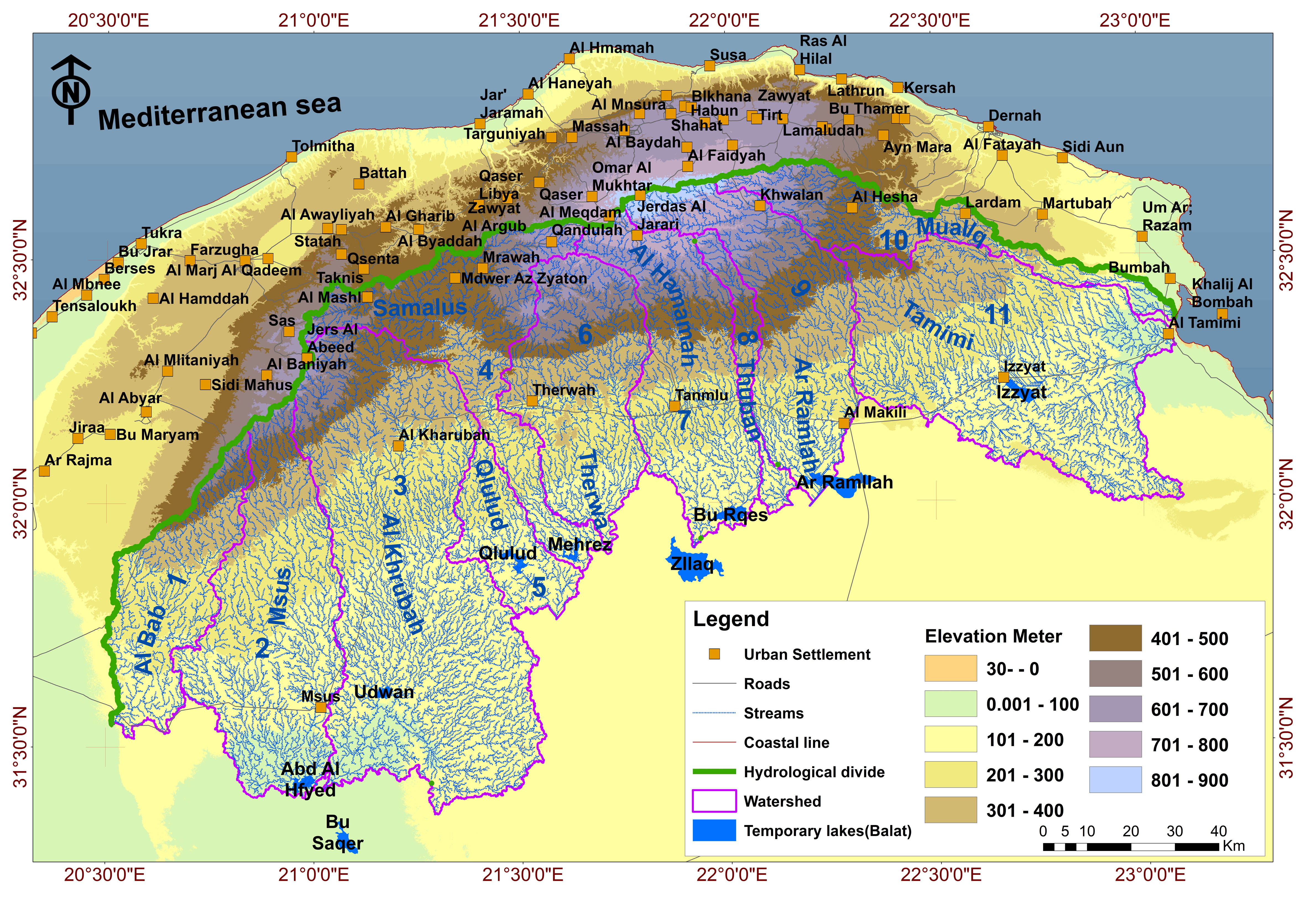
South Al Jabal Al Akhdar lies on the southern slope of the Green Mountain in northeast Libya.
The area covers approximately 17,700–20,000 km², extending from Wadi Al Bab in the west to Tamimi in the east,
and from the villages of Taknis and Sidi Al Humree in the north down to the Balat (temporary lakes) in the south.
It is situated around latitude 31° N and longitude 23° E.
Location and Extent
South Al Jabal Al Akhdar lies on the southern slope of the Green Mountain in northeast Libya.
The area covers approximately 17,700–20,000 km², extending from Wadi Al Bab in the west to Tamimi in the east,
and from the villages of Taknis and Sidi Al Humree in the north down to the Balat (temporary lakes) in the south.
It is situated around latitude 31° N and longitude 23° E.
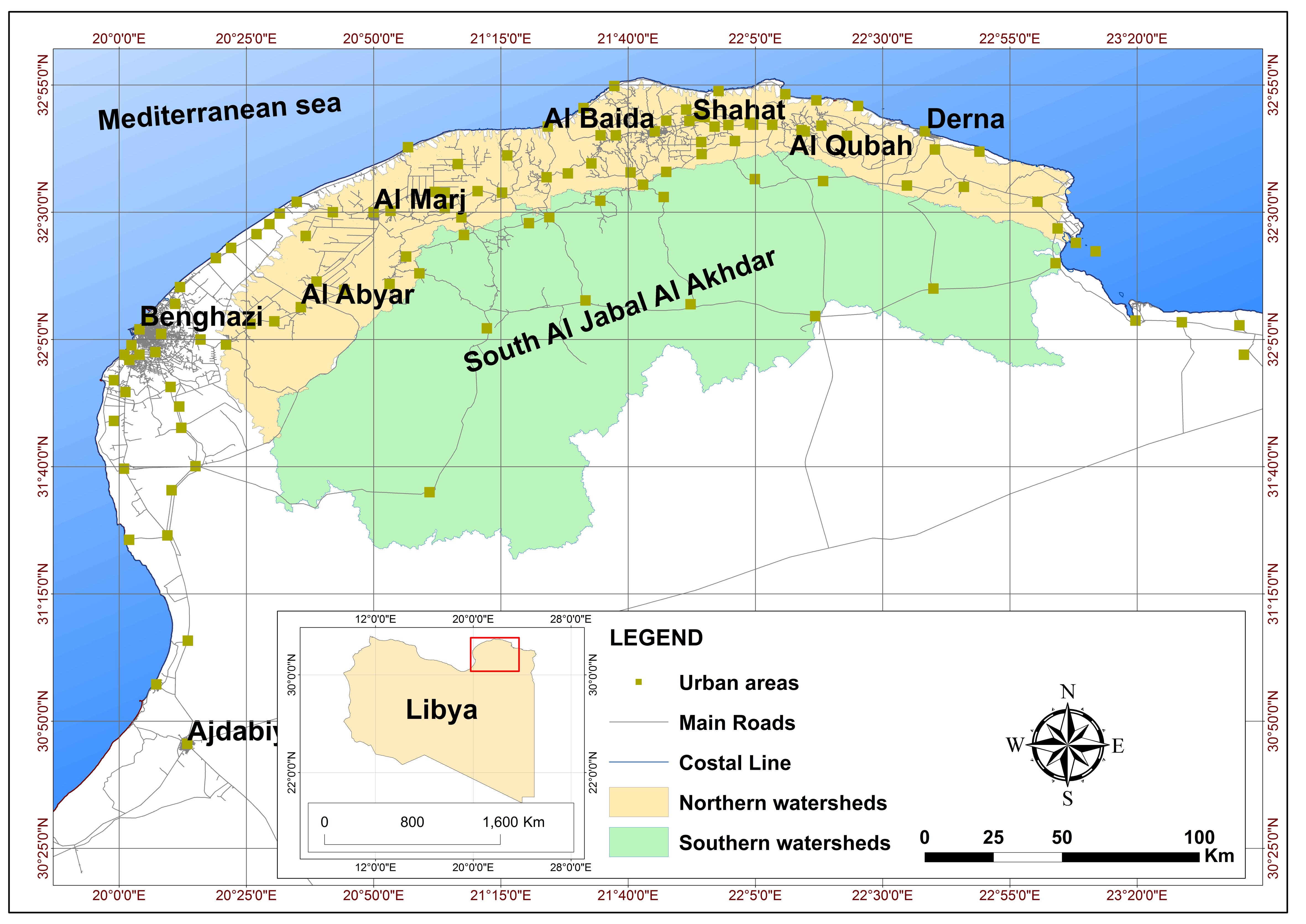
Location map of South Al Jabal Al Akhdar region, northeast Libya
Citation
Topography and Geomorphology
Al Jabal Al Akhdar is a crescent-shaped mountain ridge rising to more than 875 meters above sea level in its central part.
- The northern slope is steep and deeply cut by wadis draining into the Mediterranean Sea.
- The southern slope dips gently inland, forming broad valleys that widen into spreading zones and terminate in temporary lakes.
- Elevations range from –2 meters in the southeastern parts to 880 meters in the north.
- Drainage follows a dendritic pattern, reflecting the homogeneous nature of the underlying rocks.
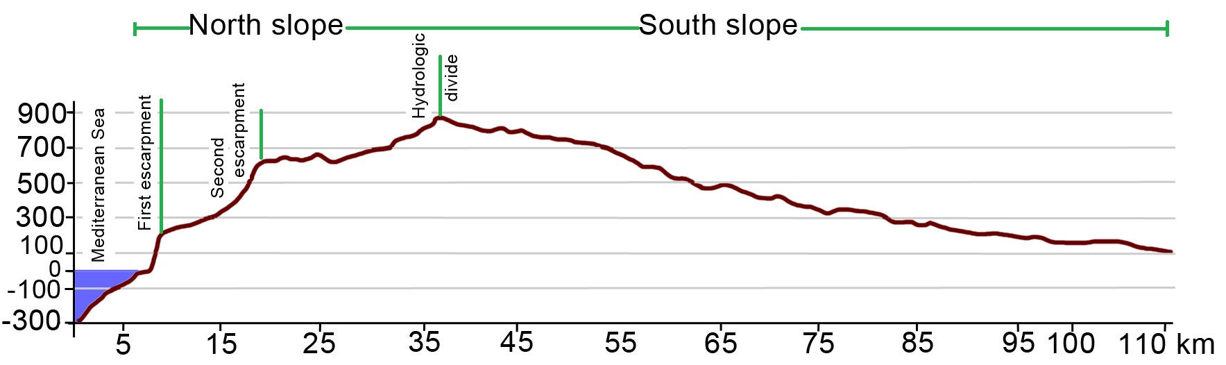
Topographic Profile North South
Citation
Agricultural and Human Activities
Agriculture
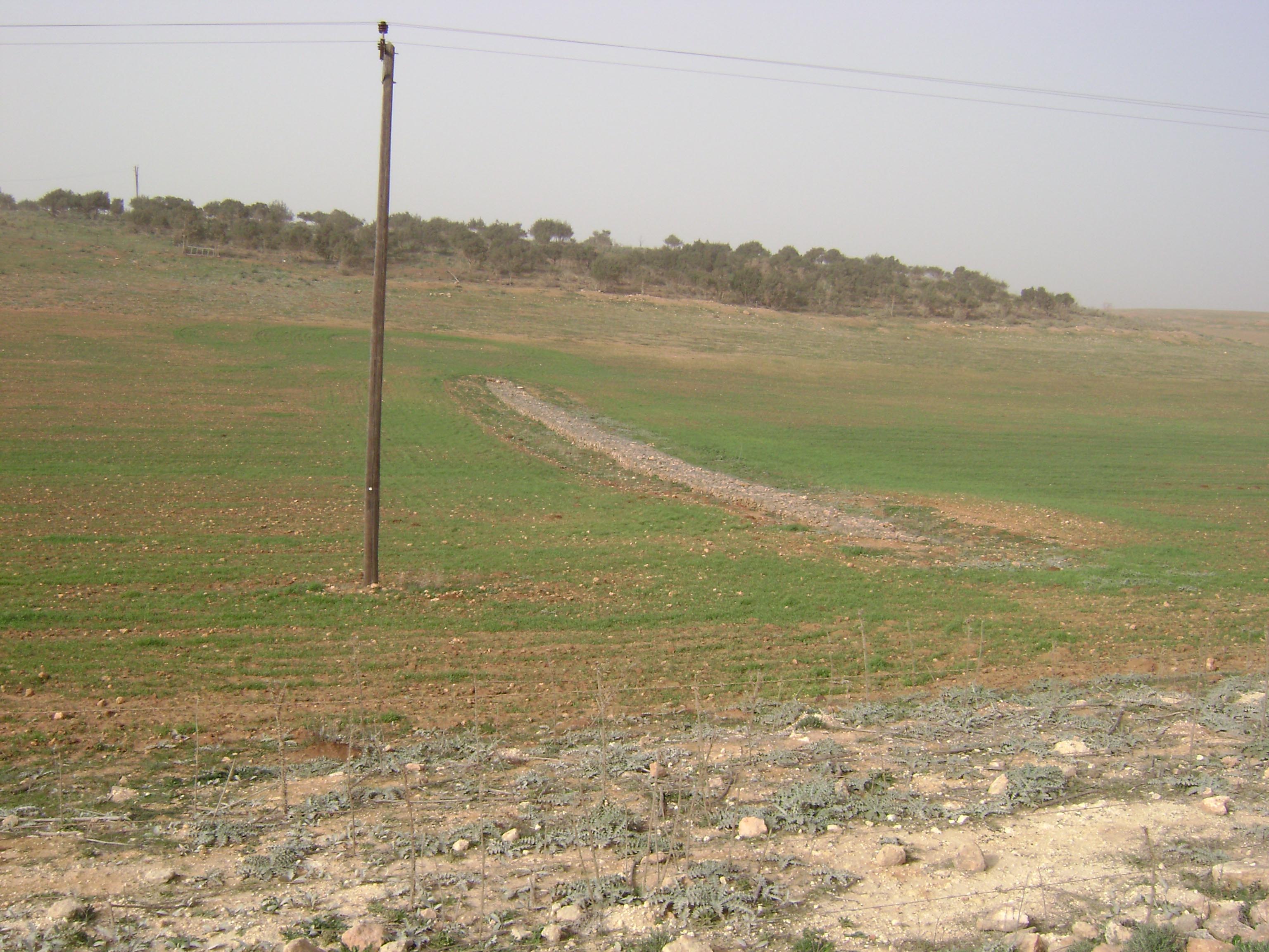
- Large-scale agricultural projects were launched in the late 1970s under the Al Jabal Al Akhdar Authority, focusing on irrigated farms at Kharubah and Makhili, with additional schemes in Samalus, Qlulud, Thuban, and Izzyat.
- Activities include cereal production, orchards, olive groves, and vegetable cultivation, supported mainly by groundwater wells.
- Livestock grazing is widespread, particularly in grassland and steppe areas.
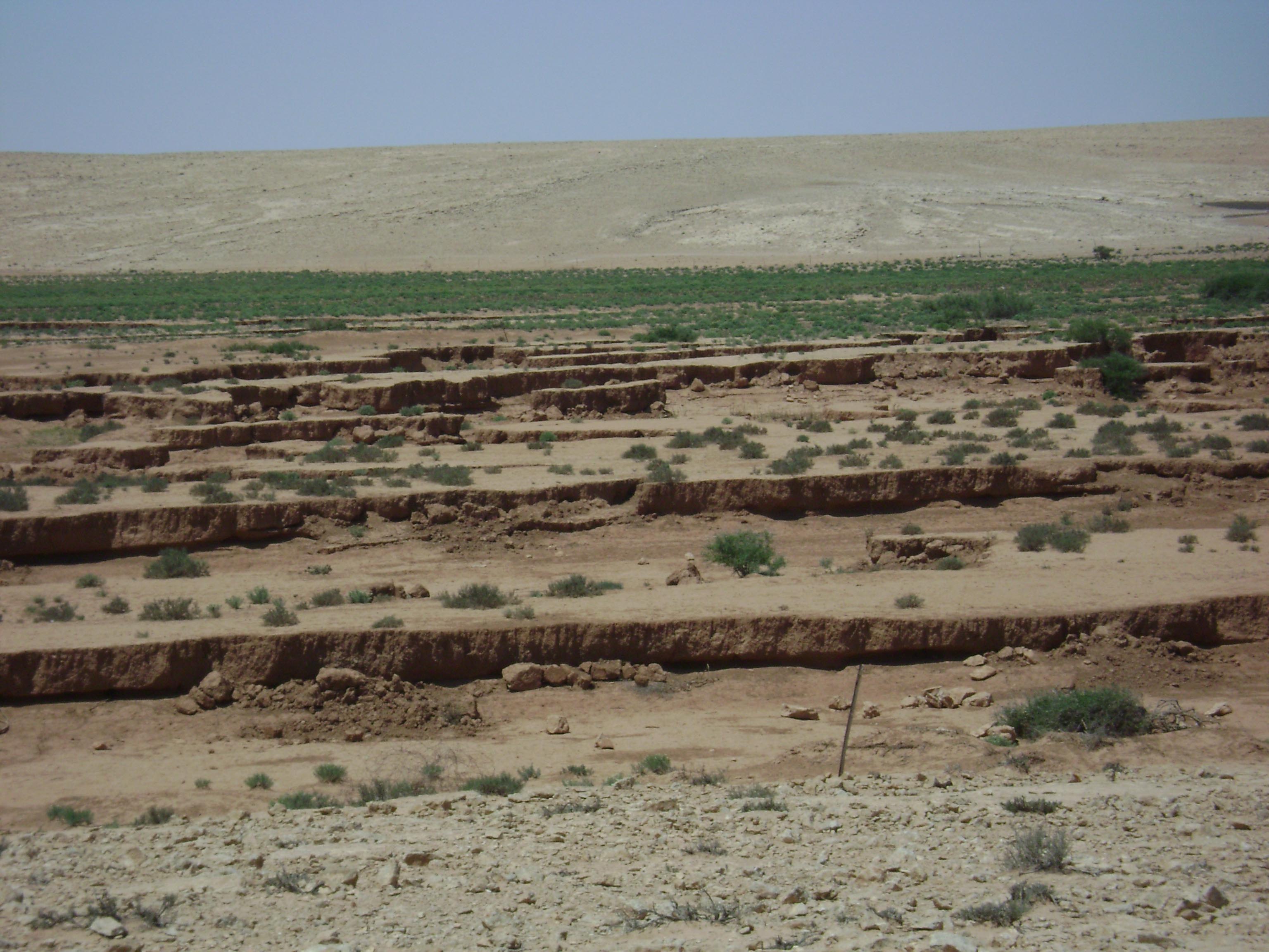
- Soil erosion and salinity are major constraints, especially in the southern parts of the region.
Human Settlements and Activities
- The area is inhabited by rural communities engaged in farming, herding, and seasonal agriculture.
- Groundwater wells drilled between the 1970s and 2000s provide water for irrigation, livestock, and domestic use.
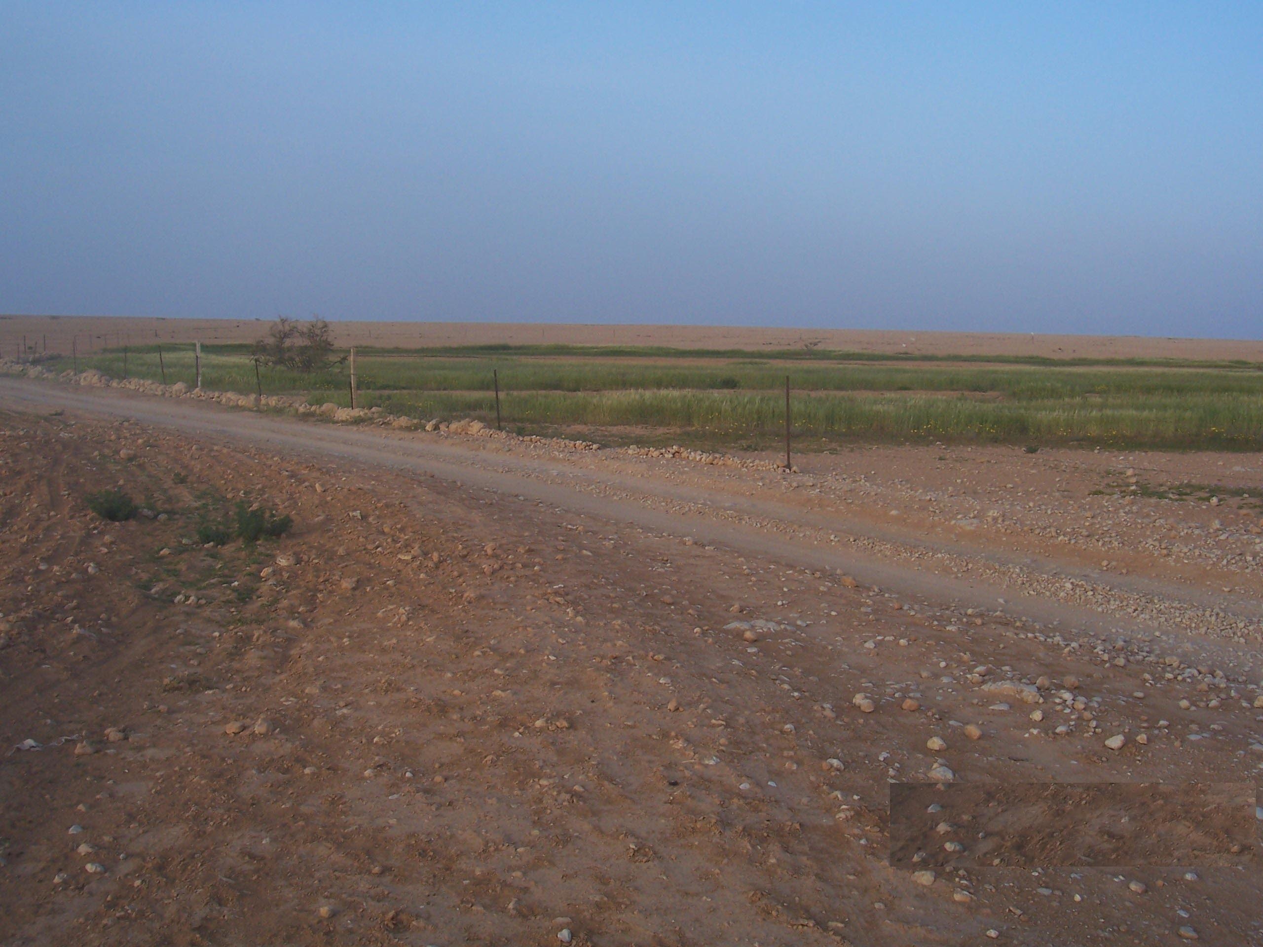
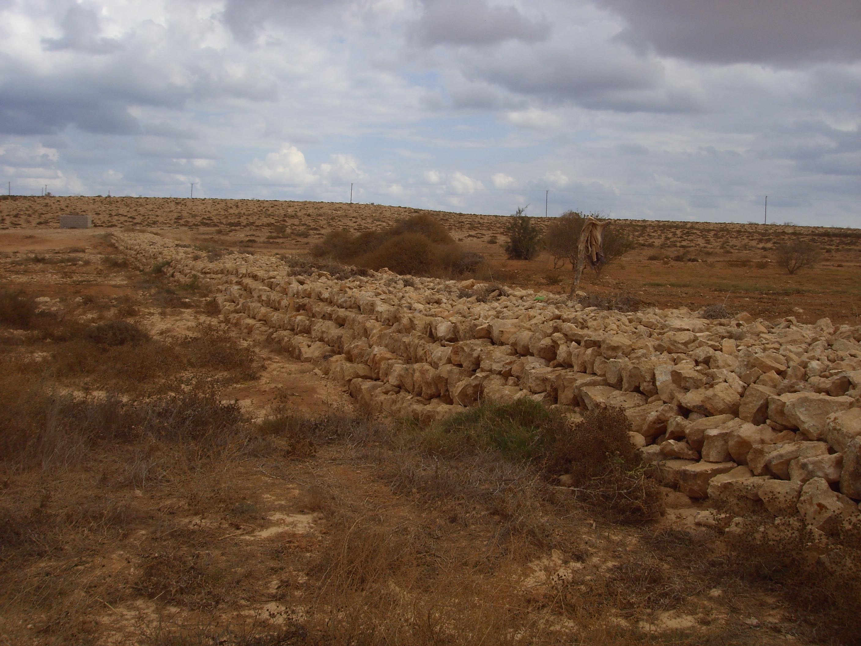
- Small-scale rainwater harvesting and traditional stone structures are used to collect and store water for local needs.
- Economic activities are closely tied to agriculture, animal husbandry, and limited forestry.
- Development projects have aimed to settle nomadic groups into permanent farming communities, though with varied success.
The climate of South Al Jabal Al Akhdar transitions from semi-arid
conditions in the northern slopes to arid in the southern interior. Rainfall is
concentrated in the winter months (November–March) and decreases steadily toward the south.
Temperatures follow the reverse pattern, increasing southward with higher summer maxima and
more pronounced seasonal variability.
Rainfall
Mean annual precipitation is highest along the northern escarpments, where values range between
280–400 mm/year. These amounts sustain limited steppe and forest cover.
Precipitation declines sharply toward the southern watersheds, dropping to
40–120 mm/year, where conditions are desert-like. Over 80% of rainfall occurs
during the winter, often in short, intense events that generate flash floods
in wadis and temporary surface water accumulation in depressions (Balat).

Mean annual precipitation distribution in South Al Jabal Al Akhdar.
Temperature
Mean annual temperature ranges from 16–18°C in the northern uplands to
22–25°C in the southern basins. During summer, maximum temperatures often
exceed 35°C, while in winter, northern highlands may approach freezing.
The north–south temperature gradient drives strong evaporation in the southern plains,
reducing the persistence of surface water and enhancing groundwater salinity risks.

Mean annual temperature distribution in South Al Jabal Al Akhdar.
South Al Jabal Al Akhdar represents the southern slope of the Green Mountain,
characterized by a gradual decline from the central ridge toward the southern interior plains.
The topographic profile shows elevations reaching up to about 820 m above sea level
in the northern highlands, gradually descending to around –30 m in the
southeastern and coastal margins.
Northern vs. Southern Slopes
The northern slope is steep, cut by short and deeply incised wadis that
cross parallel escarpments before draining directly into the Mediterranean Sea.
In contrast, the southern slope is broader and more gently inclined,
with long and shallow wadis extending southward into spreading zones and depressions.
These often terminate in temporary lakes (Balat), where seasonal runoff accumulates
before evaporating or infiltrating.
Geomorphic Implications
The topography has direct impacts on hydrology and land use.
Steep northern wadis deliver water rapidly to the sea, limiting opportunities for natural storage.
On the other hand, the gentle southern slope promotes water spreading and infiltration,
enhancing groundwater recharge but also causing high evaporation losses.
The diverse terrain — rugged ridges, escarpments, and depressions — makes this region
crucial for water resource planning, soil conservation, and watershed management.
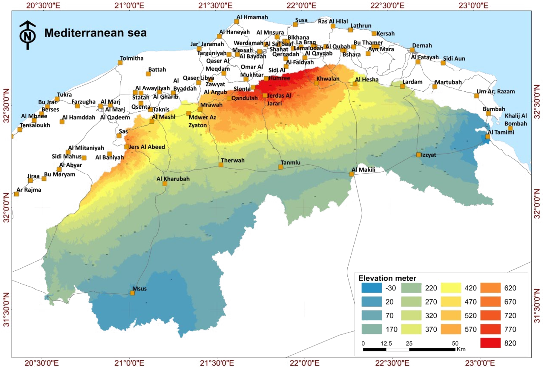
Topographic map of South Al Jabal Al Akhdar showing elevation zones (–30 to 820 m)
The geology of South Al Jabal Al Akhdar is dominated by sedimentary formations ranging
from the Late Cretaceous to the Quaternary. These formations strongly influence aquifer
distribution, groundwater quality, and the overall hydrological behavior of the region.
Late Cretaceous Formations
- Qasr Al Abid Formation (Cenomanian): Greenish marl with glauconite and pyrite,
exposed mainly in the northwest with thickness exceeding 40 m.
- Al Baniyah Formation (Upper Cenomanian–Coniacian): Thick beds of limestone and
dolomitic limestone interbedded with marls, with thickness over 500 m.
- Al Majahir Formation (Campanian): Marly limestone, microcrystalline limestone,
and dolomitic limestone interlayered with marl and clay, thickness 80–200 m.
- Wadi Dukan Formation (Maastrichtian): Hard dolomite and dolomitic limestone,
with thickness 50–150 m, increasing southwestwards.
Tertiary Formations
These formations are widely exposed in the central and southern parts of the study area.
They consist of dolomitic limestone, argillaceous limestone, and evaporitic layers
(gypsum and halite). In the Makhili area, intercalated evaporites reduce water quality
in the aquifers.
Quaternary Deposits
Quaternary sediments are widespread across the region, consisting mainly of ancient and
recent alluvial deposits. These deposits occupy valleys, spreading zones, and depressions,
and play an important role in groundwater recharge and water harvesting.
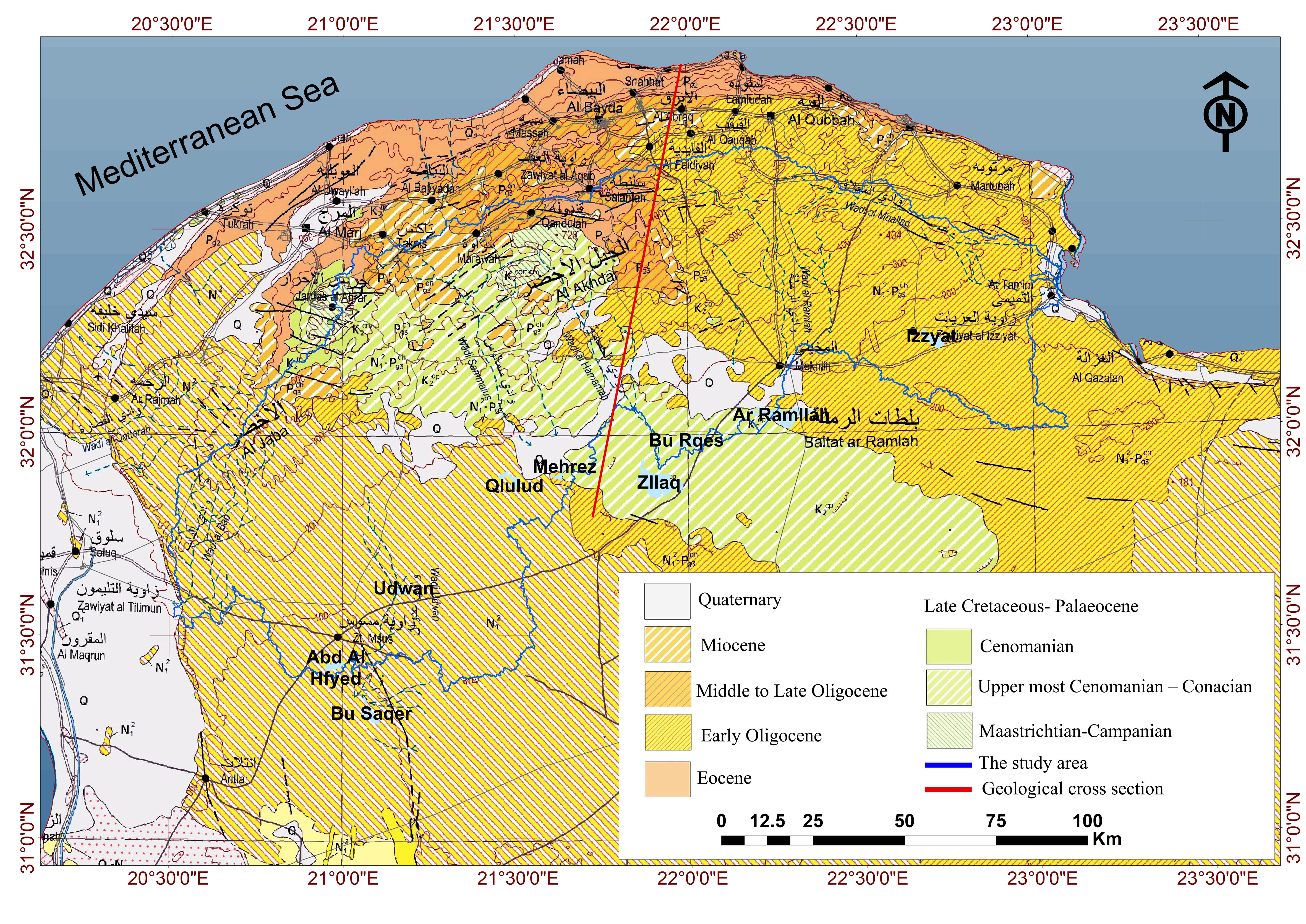
Geological Map of North Est Libya By ARC
Geological Significance
The carbonate formations provide the main aquifers, with the Upper Cretaceous aquifer
in the north offering good quality groundwater, while the Tertiary aquifers in the south
often suffer from high salinity. The geological structure and composition also control
the morphology, drainage, and soil fertility of the area, shaping both natural processes
and human land use.
Groundwater salinity in the southern slopes of Al Jabal Al Akhdar exhibits clear spatial variation
that is strongly controlled by geology, topography, and hydrogeological processes. The general pattern is a
north–south gradient, with relatively fresh water near the Mediterranean coastal aquifers and
progressively higher salinity values toward the central and southern interior basins.
Salinity Distribution
Field data and geostatistical analysis of 86 wells show that total dissolved solids (TDS) range
from about 500 mg/L in the northern zone to more than 14,000 mg/L in the
central–southern areas. The northern aquifers (Upper Cretaceous formations) provide low-salinity
groundwater suitable for multiple uses, while the southern Tertiary aquifers often exceed
5,000–9,000 mg/L, with localized hot spots surpassing 9,000 mg/L (e.g., around
Msus and south of Tanmlu, as shown in the map). These anomalies are linked to the influence of
evaporitic deposits (gypsum, anhydrite, sabkha facies) embedded within marine carbonate sequences.
Hydrochemical Trends
- Sodium, chloride, and sulfate concentrations increase significantly toward the south, dominating groundwater chemistry.
- Calcium and magnesium are elevated in carbonate-rich zones, resulting in very high total hardness.
- Bicarbonate shows a modest westward trend rather than a dominant north–south distribution.
- Localized anomalies in salinity reflect lithological variations and groundwater flow through evaporite-rich formations.
Suitability of Use
In the northern zone, groundwater is generally suitable for drinking and irrigation.
In contrast, the central and southern zones are mostly unsuitable for drinking
due to excessive salinity, and present serious risks for agriculture because of high
sodium adsorption ratio (SAR), which can damage soils and reduce crop yields.
Management Implications
The salinity gradient highlights the need for integrated water resource management.
Measures include protecting northern recharge zones, blending high- and low-salinity waters,
applying desalination technologies where necessary, adopting improved irrigation practices,
and strengthening monitoring programs to track salinity variations over time.

Groundwater salinity distribution map (South Al Jabal Al Akhdar)
Groundwater levels in South Al Jabal Al Akhdar were analyzed using
95 observation wells. Geostatistical interpolation (ordinary kriging)
shows a distinct north–south gradient, with deeper water levels in the
north and progressively shallower levels toward the southern plains and spreading zones:contentReference[oaicite:1]{index=1}.
Spatial Patterns
- In the northern zone, groundwater levels exceed 350–450 m above sea level, reflecting the higher elevations of the Upper Cretaceous aquifer.
- In the central parts, levels decrease to 210–300 m.
- In the southern zone, water levels are shallowest, often between 100–180 m, especially around Msus and Al Makili.
- The potentiometric surface indicates three dominant groundwater flow directions (north–south, southeast, and southwest), controlled by geological structures and karstic features.
Temporal Trends
Historical monitoring between 1970 and 2007 reveals both stability and decline:
- 1970s–1980s: Groundwater levels were relatively stable, influenced by natural recharge from wadis.
- 1990s–2000s: Intensive abstraction in northern wells caused a 3–5 m decline in several locations.
- Southern wells showed smaller fluctuations due to local recharge, though they remain vulnerable to water quality deterioration and salinity risks.
Hydrological Implications
The spatial gradient demonstrates that northern aquifers are deeper and
provide fresher water but require higher pumping costs. By contrast, southern shallow
aquifers are easier to exploit but face higher risks of salinity due to evaporitic
deposits and limited flushing. Sustainable management requires balancing groundwater
abstraction with recharge, supported by continuous monitoring and modeling.

Groundwater level distribution map (South Al Jabal Al Akhdar)
Description
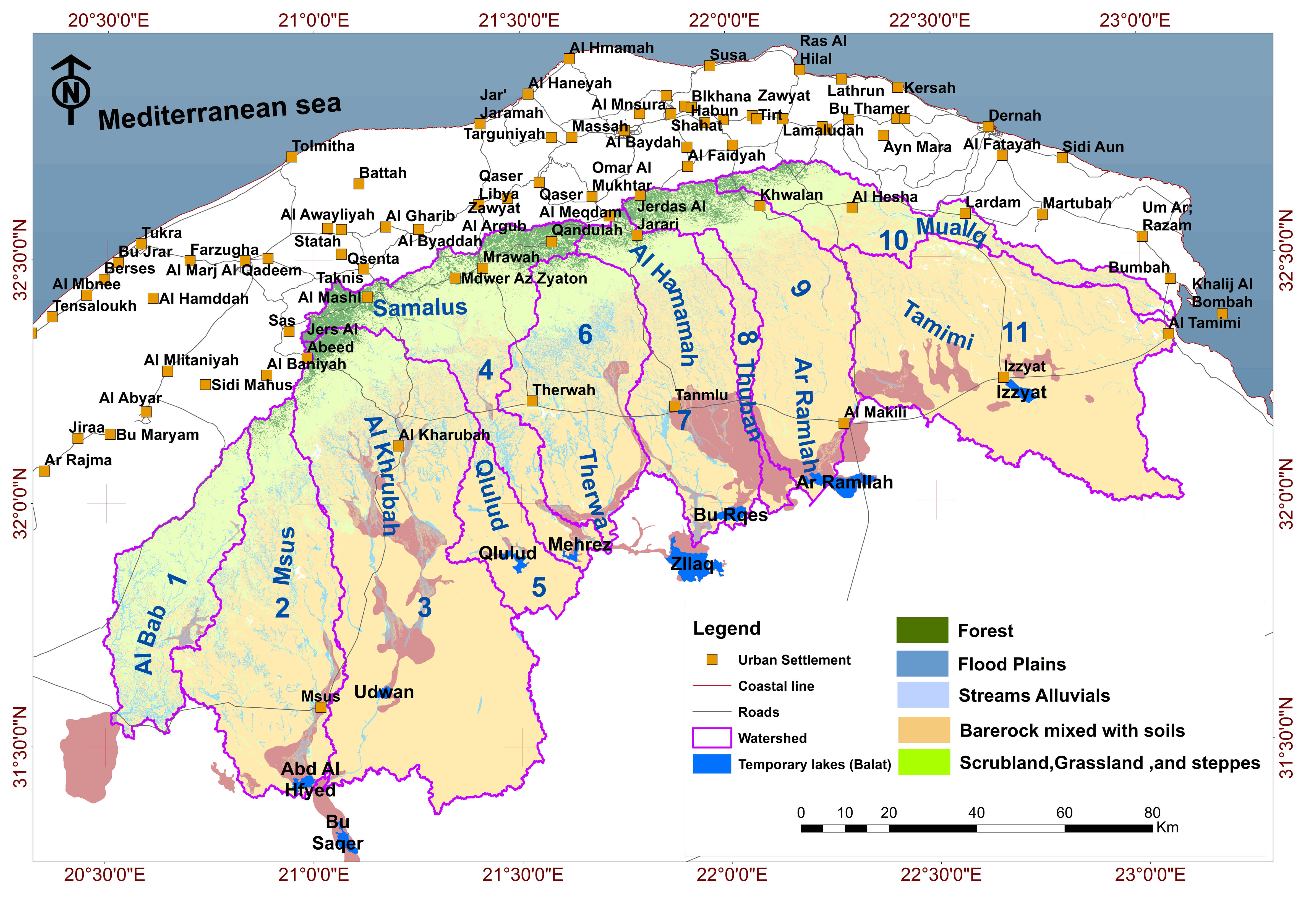
In the southern part of Al Jabal Al Akhdar, 11 major watersheds were identified, collectively covering a total area of 17,721 km². These watersheds extend along a hydrological divide spanning 470.75 km from the southwest to the east. Their morphology and drainage patterns reflect the influence of Upper Cretaceous and Tertiary tectonic structures, as well as climatic and erosional processes over time.
The general flow direction of most watersheds is toward the southeast, with the exception of Muallq and Tamimi, which face more easterly. The slope decreases from moderate gradients in the headwater zones to very low gradients in depositional areas. These drainage systems are characterized by ephemeral streams—seasonal channels that only flow during rainfall events—with a combined stream length of approximately 35,757.8 km. Most of these streams terminate in inland depressions forming temporary lakes known locally as Balat.
Watersheds of the southern Al Jabal Al Akhdar region.
Watershed Characteristics
| Watershed | Area (km²) | Length (km) | Perimeter (km) |
Min Elev. (m) | Max Elev. (m) | Avg Elev. (m) |
Slope (°) | Aspect | Stream Length (km) |
| Al Bab | 1082.0 | 74 | 332 | 98 | 603 | 276 | 3.4 | 157° | 1537 |
| Msus | 2039.0 | 90 | 416 | 44 | 644 | 212 | 2.5 | 134° | 4083 |
| Al Khrubah | 3928.0 | 105 | 599 | 63 | 670 | 222 | 2.3 | 124° | 7982 |
| Samalus | 1511.0 | 87 | 512 | 139 | 775 | 419 | 3.6 | 149° | 2763 |
| Qlulud | 569.0 | 45 | 216 | 140 | 303 | 188 | 2.2 | 119° | 1150 |
| Therwa | 1484.0 | 67 | 309 | 141 | 736 | 364 | 3.7 | 151° | 2891 |
| Al Hamamah | 1522.0 | 78 | 354 | 124 | 832 | 364 | 3.6 | 149° | 2914 |
| Thuban | 301.0 | 65 | 251 | 125 | 762 | 382 | 3.8 | 148° | 572 |
| ArRamlah | 1559.0 | 81 | 364 | 131 | 880 | 427 | 3.1 | 140° | 2990 |
| Muallq | 869.0 | 109 | 426 | -6 | 852 | 417 | 3.3 | 106° | 1631 |
| Tamimi | 2857.0 | 79 | 491 | -2 | 464 | 220 | 2.2 | 112° | 7241 |
Spatial characteristics of the watersheds.
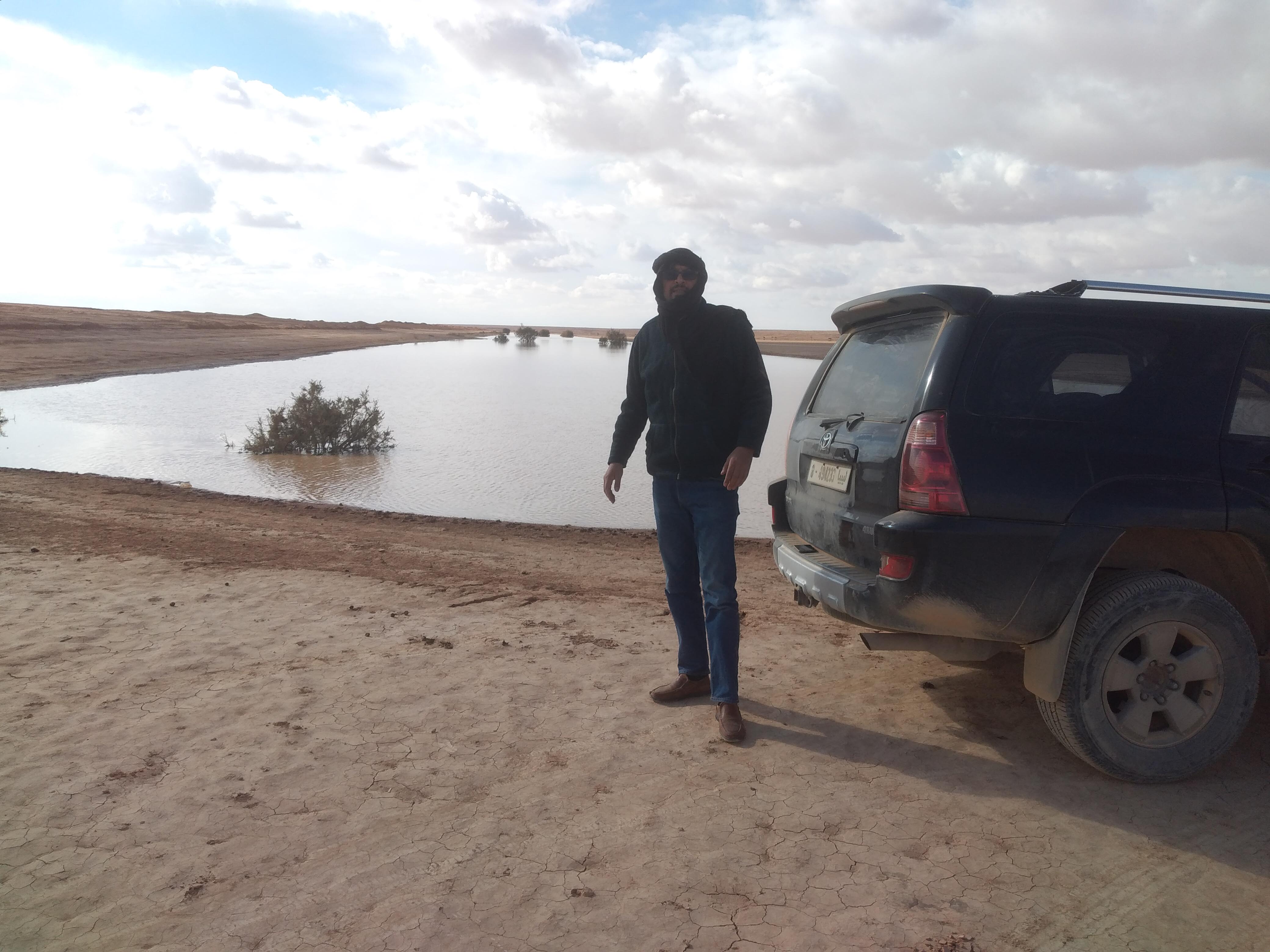
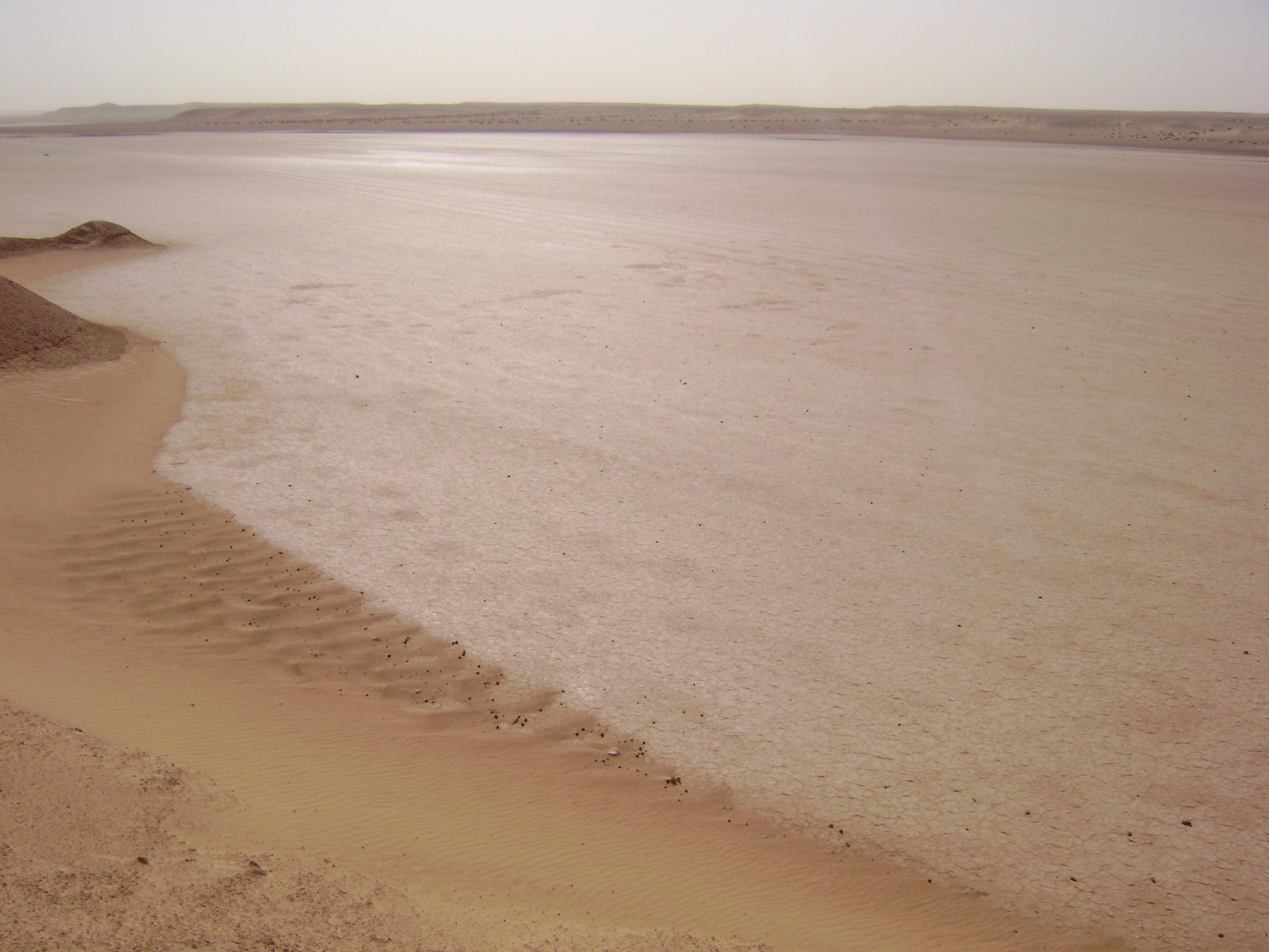
Temporary Lakes (Balat)
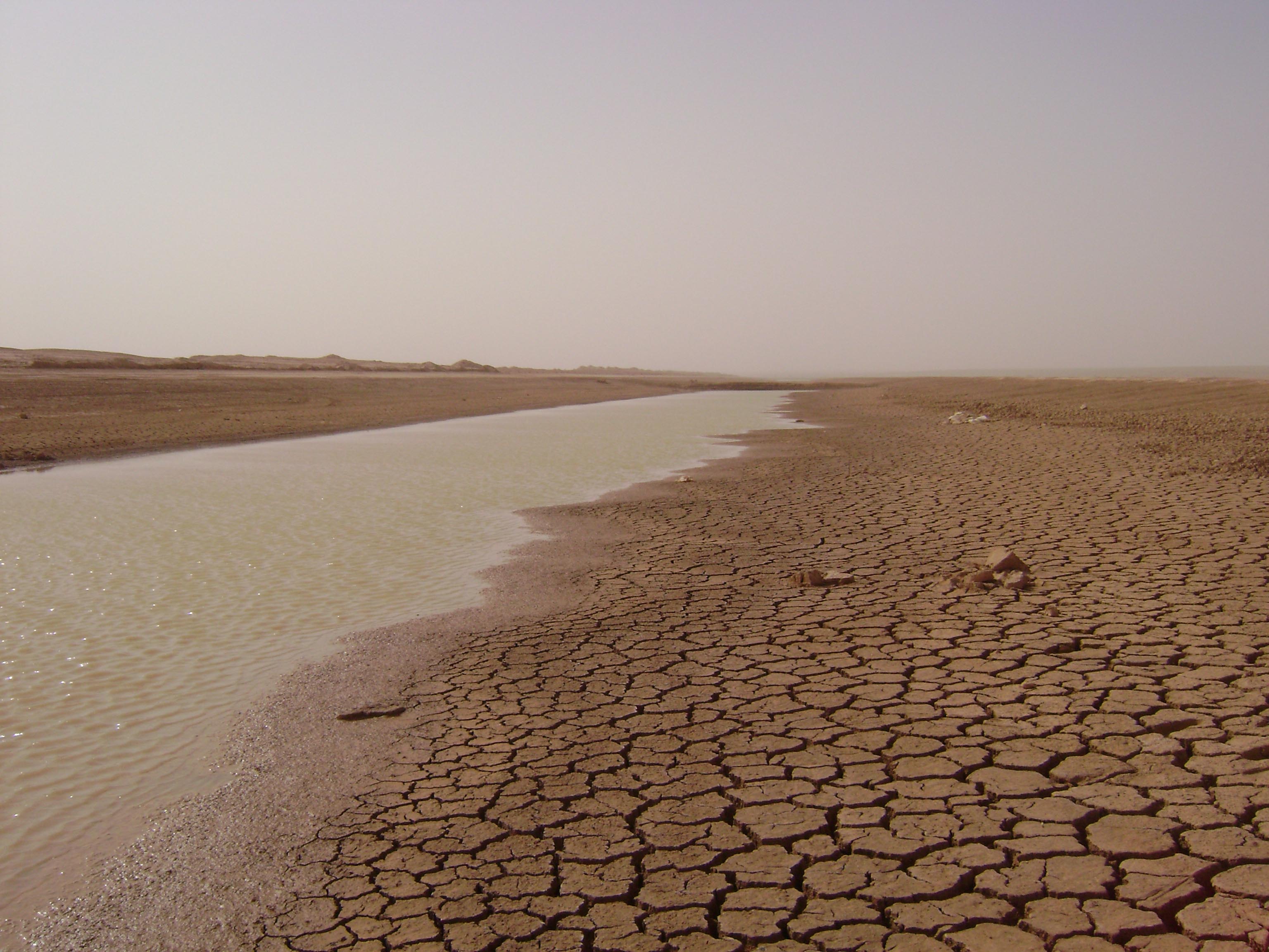
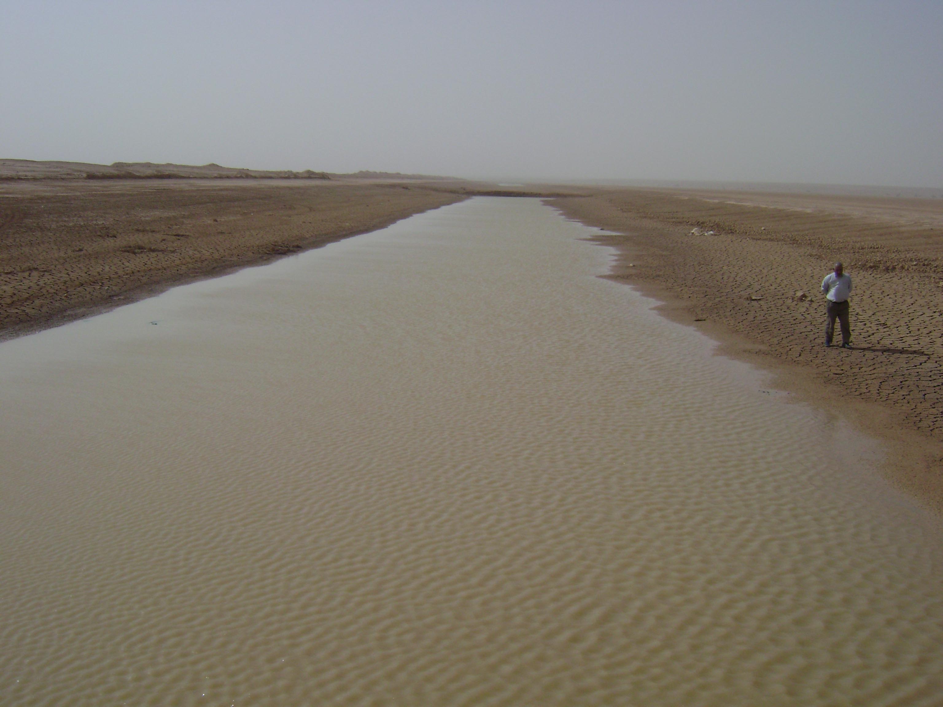
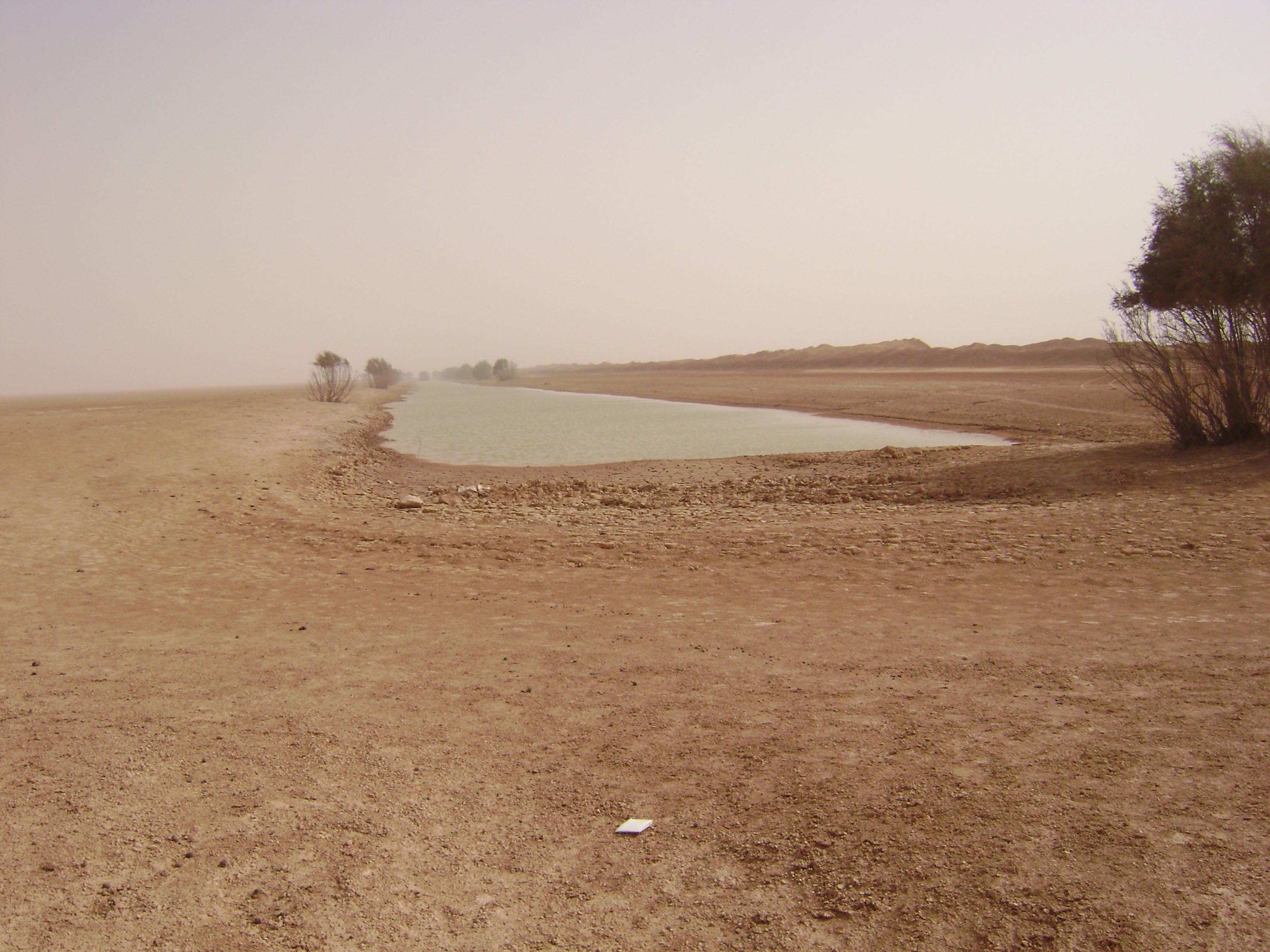
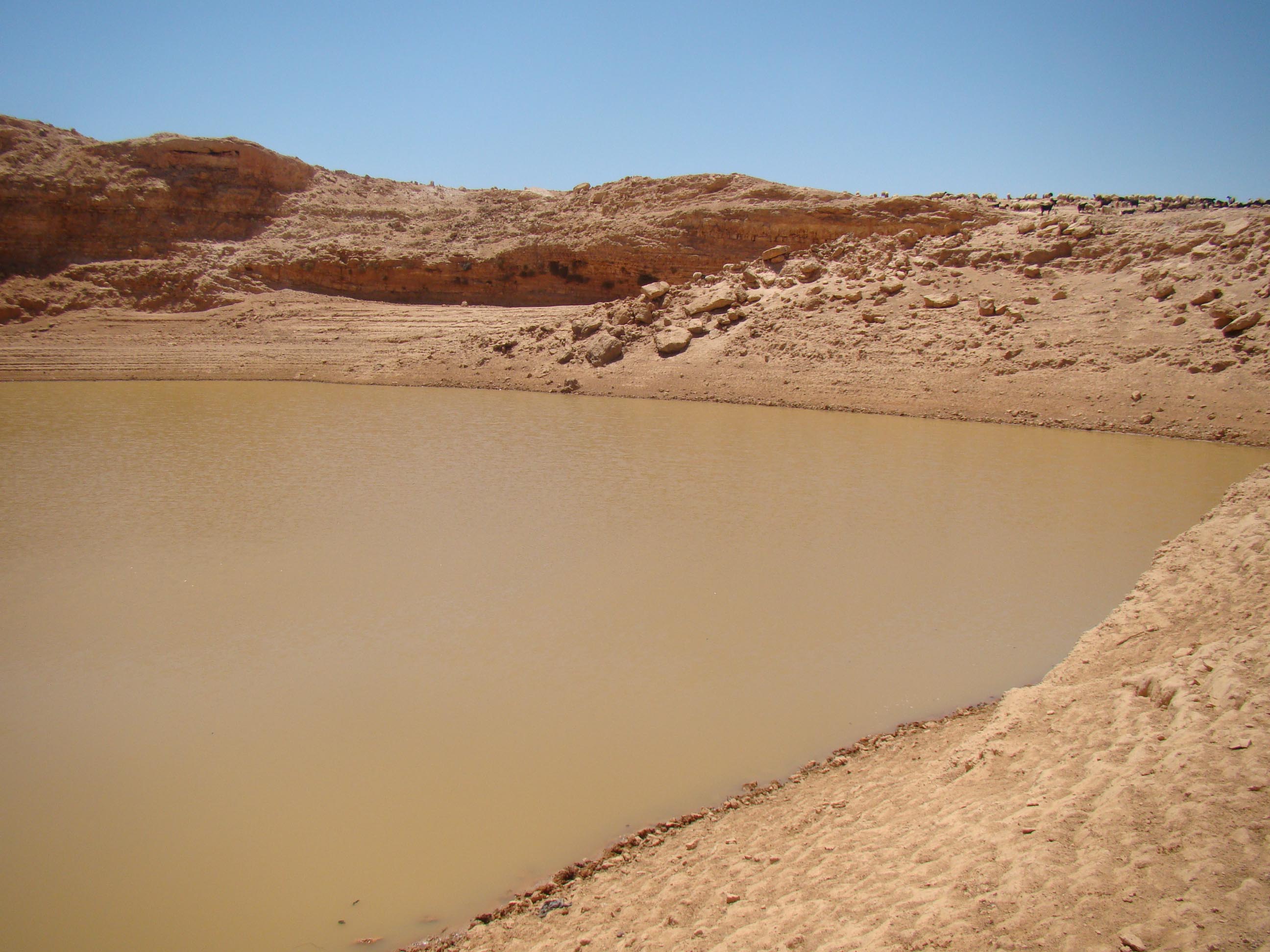
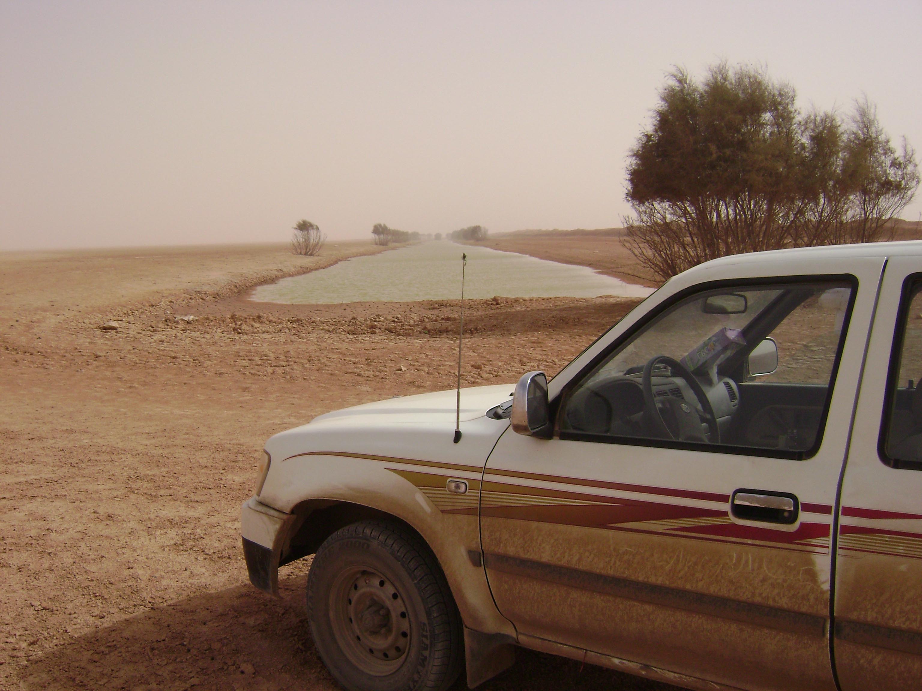
Most of the ephemeral streams in these watersheds terminate in closed depressions forming temporary lakes locally referred to as Balat. These natural depressions serve as important water harvesting and grazing zones. During rainy seasons, surface runoff collects in these areas. In some cases, water retention is enhanced by man-made trenches—typically 1 km in length, 40 m wide, and 5 m deep—designed to slow runoff and encourage infiltration.
| Name | Avg Elev. (m) | Aspect | Perimeter (m) | Area (km²) | Trenches |
| Abd Al Hfyed | 64.2 | 89° | 23153.0 | 12.0 | 1 |
| Qlulud | 159.0 | 92° | 27570.0 | 12.0 | 1 |
| Izzyat | 138.4 | 95° | 19341.0 | 15.0 | 0 |
| ArRamllah | 138.8 | 86° | 2013.0 | 44.0 | 6 |
| Mehrez | 154.9 | 91° | 20589.0 | 7.0 | 3 |
| Bu Rqes | 140.3 | 72° | 22312.0 | 17.0 | 2 |
| Zllaq | 128.4 | 88° | 1049.0 | 58.0 | 3 |
| Bu Saqer | 55.5 | 94° | 24926.0 | 15.0 | 2 |
| Udwan | 101.7 | 93° | 13969.0 | 7.0 | 1 |
Temporary lakes (Balat)
Description
Land cover in the southern watersheds of Al Jabal Al Akhdar was mapped and analyzed
using Landsat 8 satellite imagery with a supervised classification approach.
The classification distinguishes five major land cover categories:
Alluvial Plains, Spreading Zones, Forest, Grassland & Steppes, and Bare Rock.
The process achieved an overall accuracy of 90% and a Kappa Coefficient of 0.8,
confirming the high reliability of the results.
Figure 8. Land Use Land Cover (LULC) map of the southern Al Jabal Al Akhdar watersheds.
Distribution by Watershed
The distribution of land cover varies significantly across watersheds.
Forests are concentrated in the northern watersheds such as
Samalus and ArRamlah, benefiting from higher rainfall and cooler temperatures.
In contrast, bare rock dominates the southern and interior basins, particularly
Tamimi and Al Khrubah. Spreading zones follow wadi courses, while
alluvial plains occupy depositional areas in downstream zones, supporting agriculture
and grazing.
| Watershed |
Alluvial Plains (km²) |
Spreading Zone (km²) |
Forest (km²) |
Grassland & Steppes (km²) |
Bare Rock (km²) |
| Al Bab | 28 | 157 | 2 | 690 | 205 |
| Msus | 93 | 520 | 18 | 218 | 1190 |
| Al Khrubah | 361 | 254 | 51 | 511 | 2751 |
| Samalus | 45 | 90 | 279 | 655 | 442 |
| Qlulud | 27 | 23 | 0 | 13 | 506 |
| Therwa | 88 | 197 | 18 | 311 | 870 |
| Al Hamamah | 115 | 333 | 10 | 250 | 814 |
| Thuban | 78 | 11 | 0 | 51 | 161 |
| ArRamlah | 127 | 36 | 102 | 301 | 993 |
| Muallq | 13 | 40 | 37 | 386 | 393 |
| Tamimi | 263 | 57 | 0 | 57 | 2480 |
Distribution of land cover classes across watersheds in the study area.
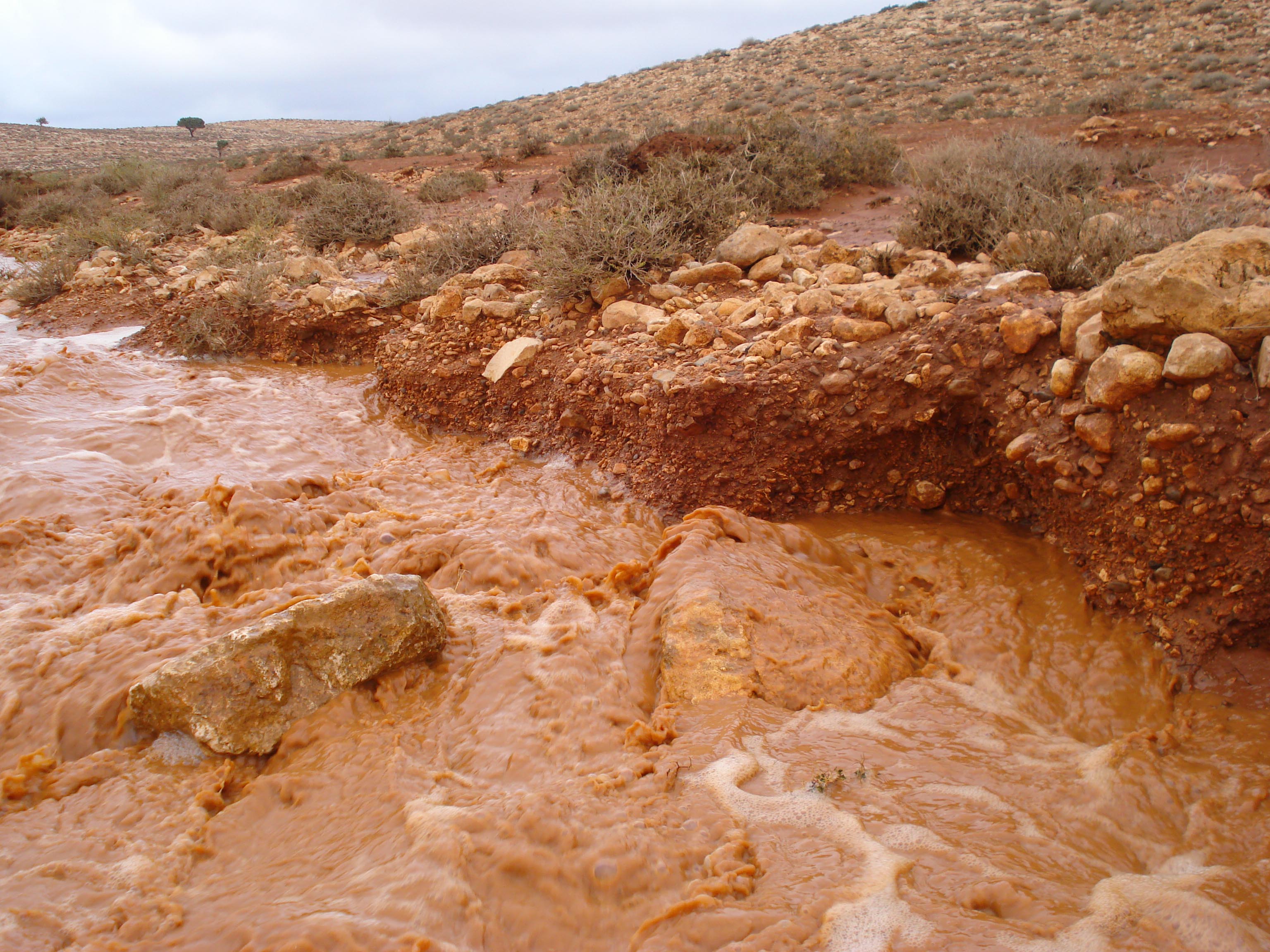
Description
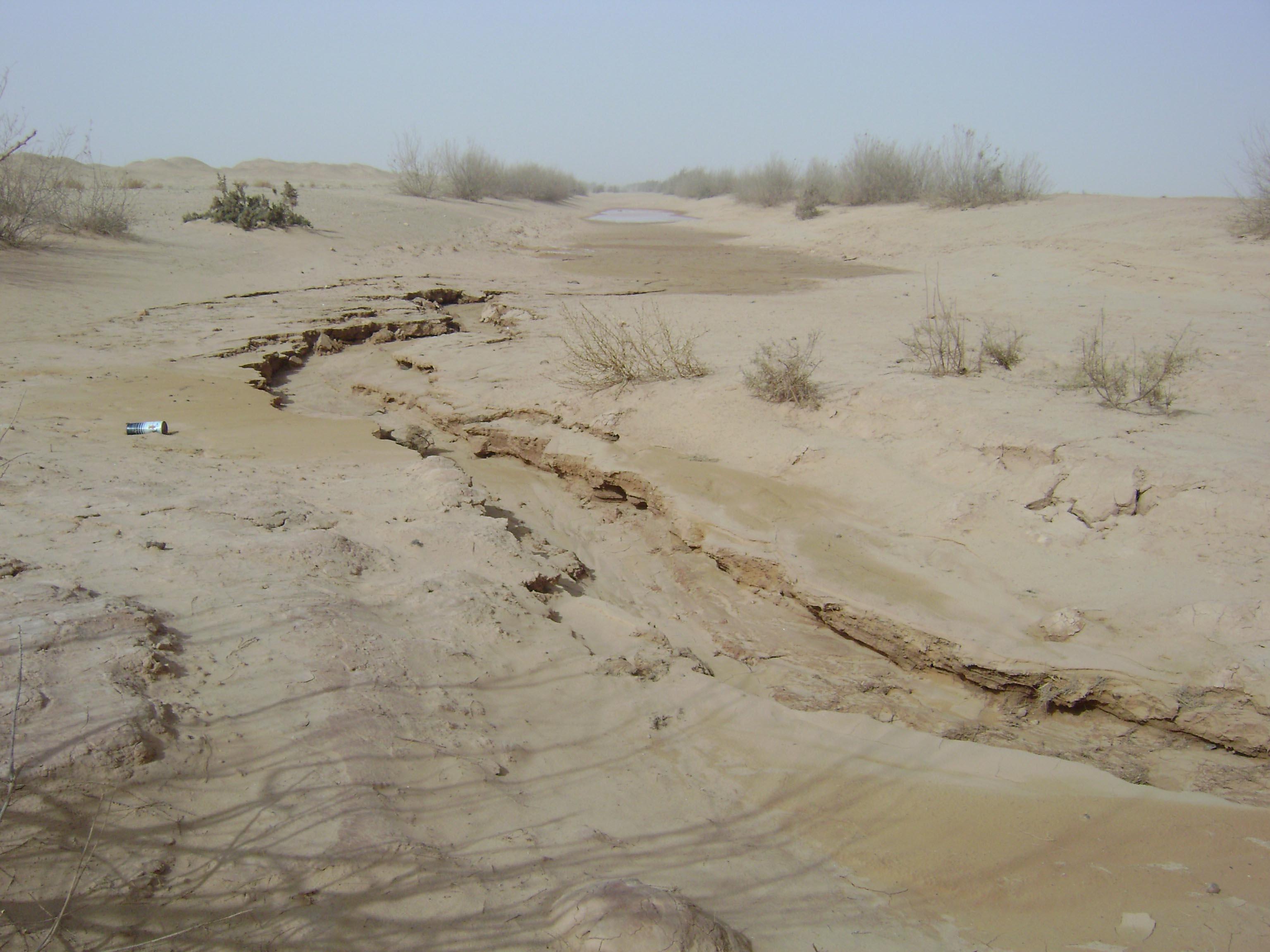
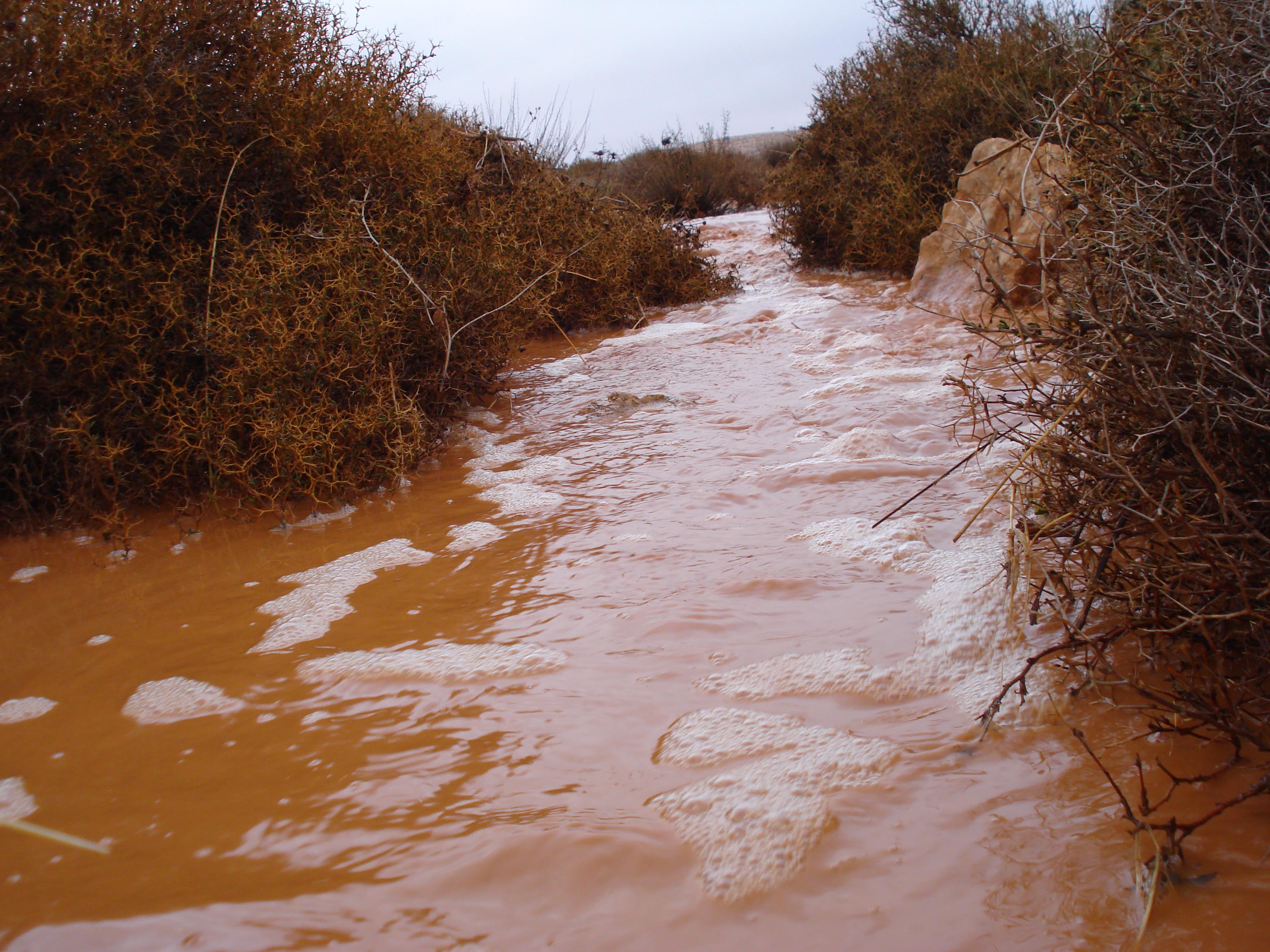
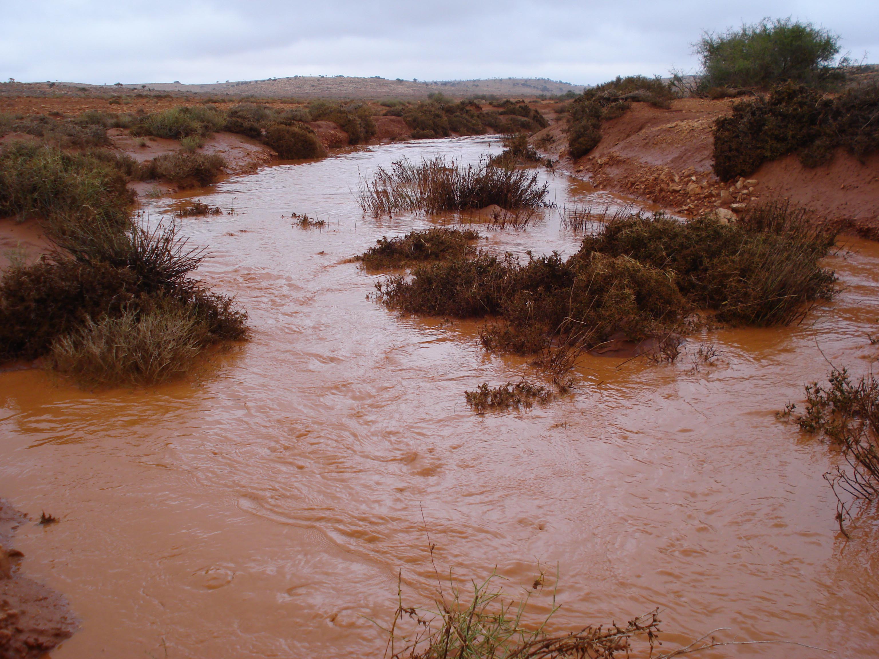
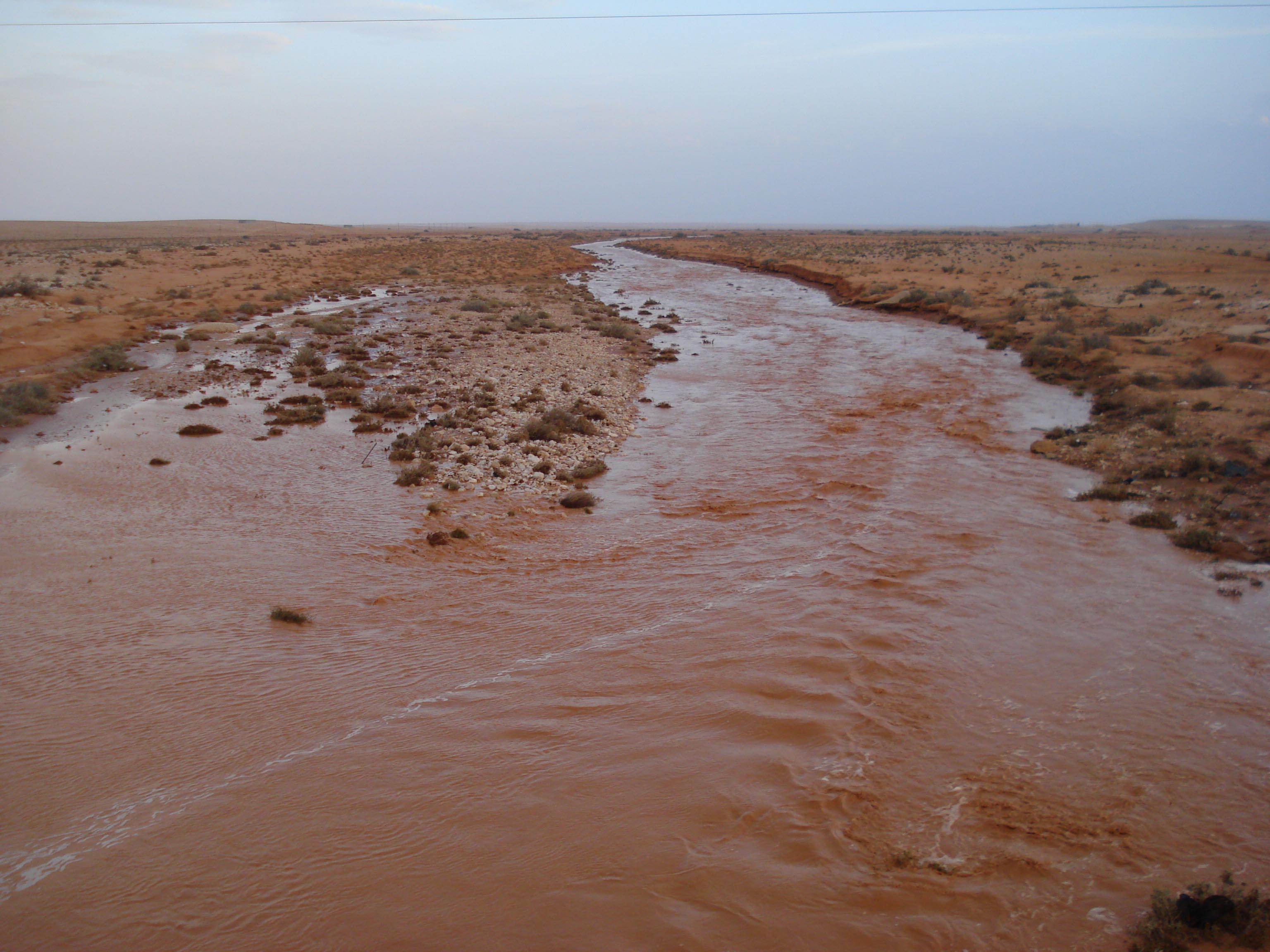
The southern watersheds of Al Jabal Al Akhdar are highly vulnerable to
flash floods, driven by short, intense rainfall events concentrated in winter.
Steep slopes in the headwaters and bare rocky surfaces accelerate runoff, resulting in sudden
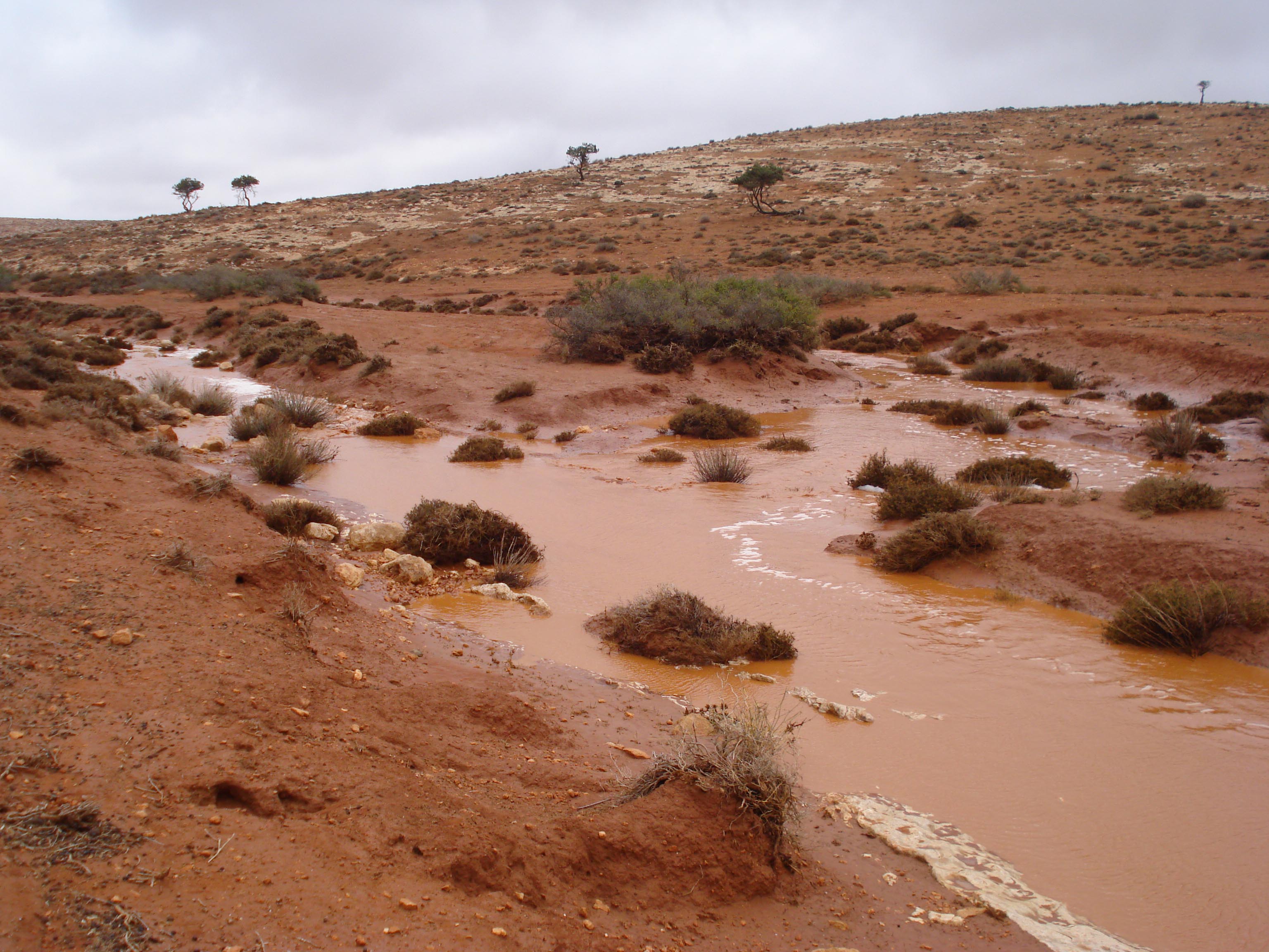
flows through wadis. These floods often terminate in inland depressions, forming
temporary lakes (Balat) where water accumulates before evaporating or infiltrating.
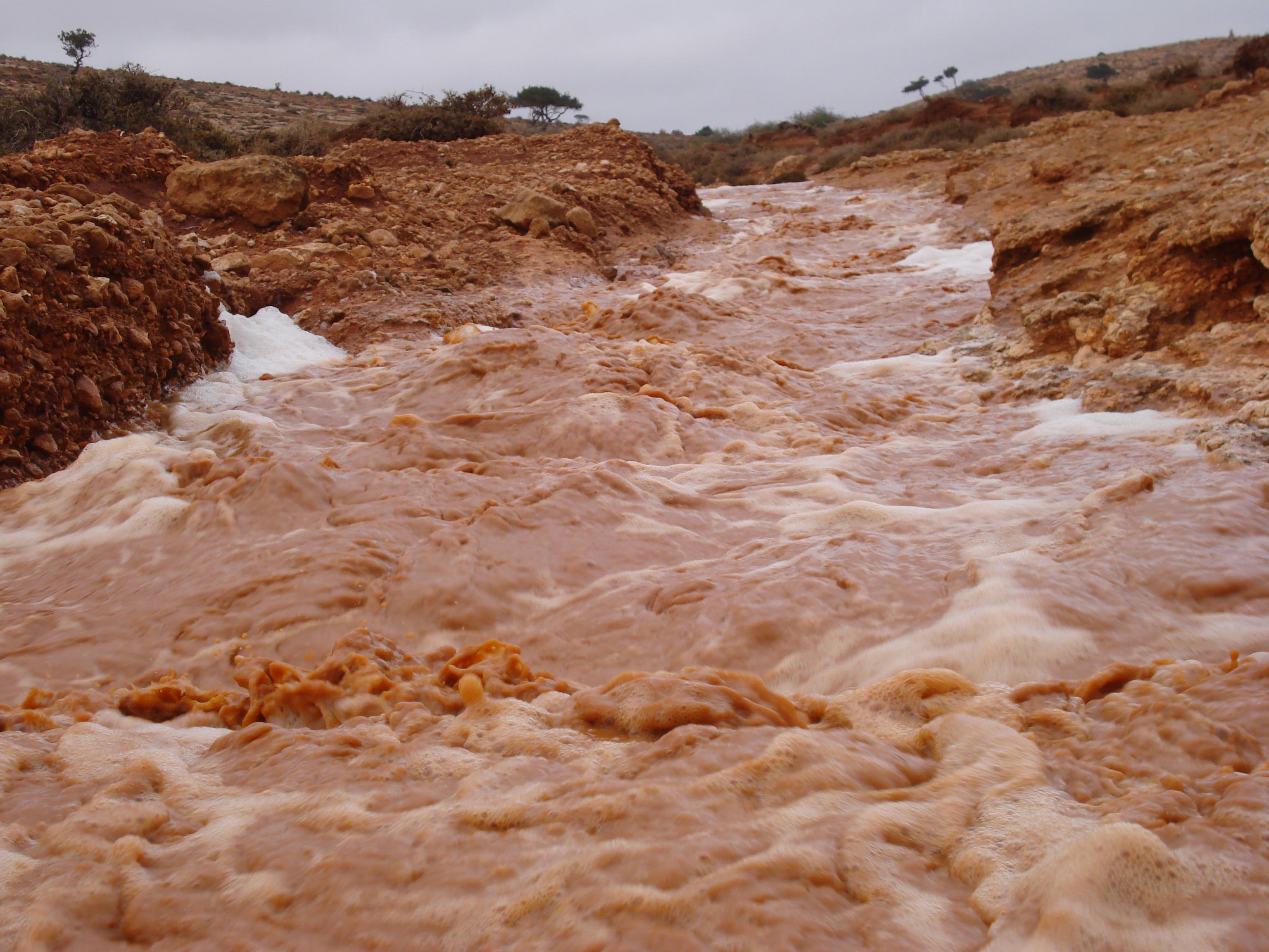
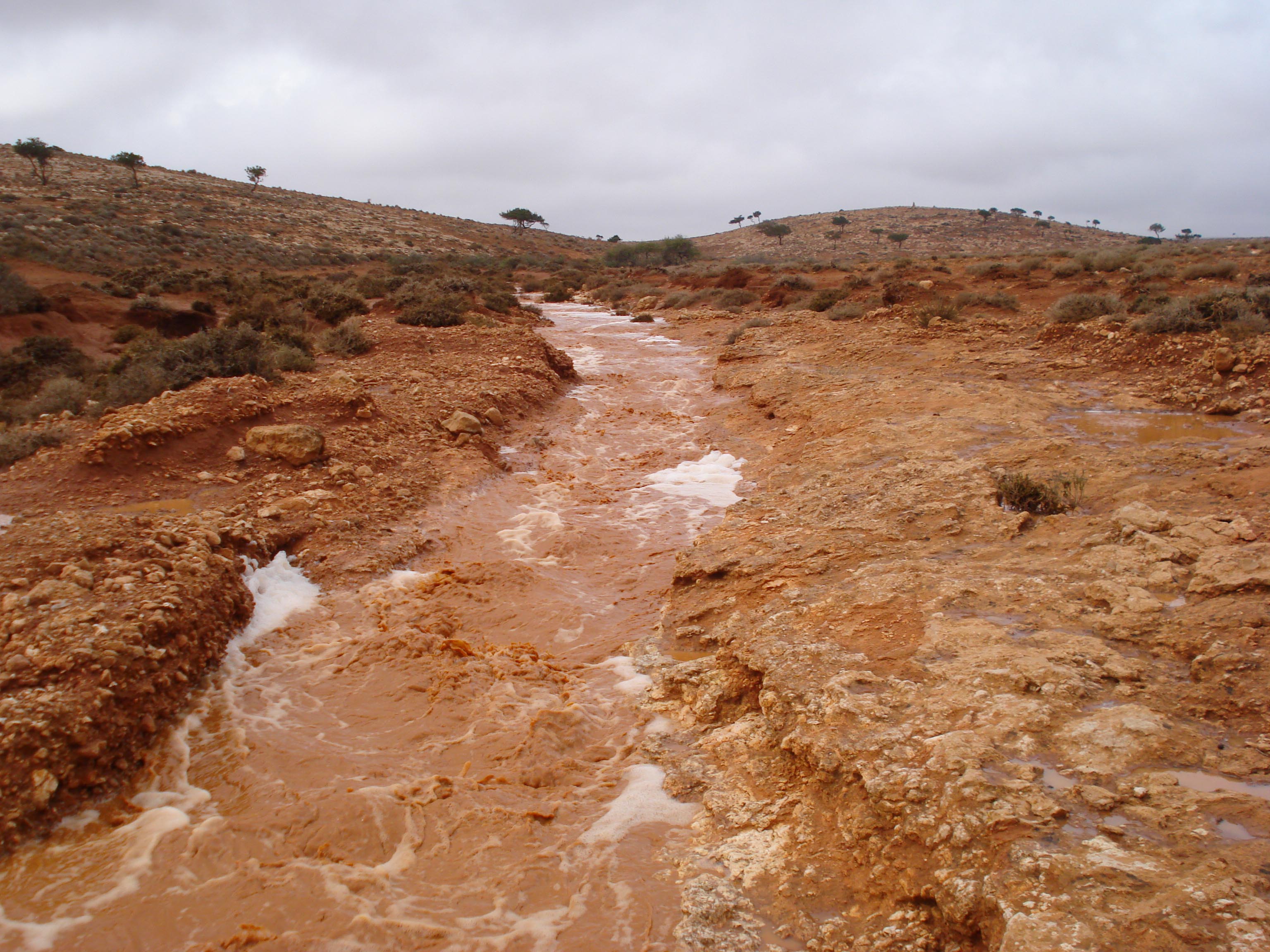
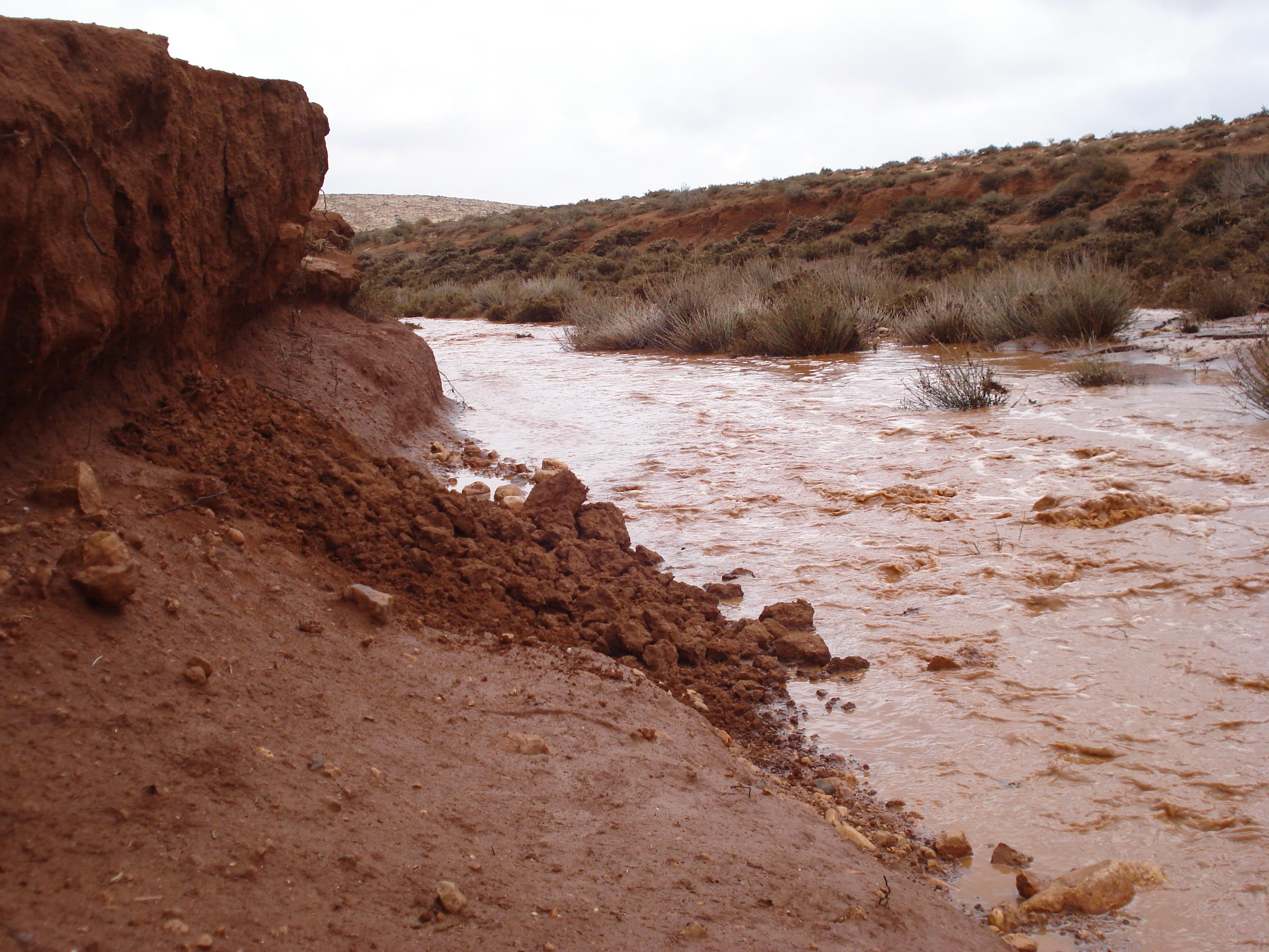
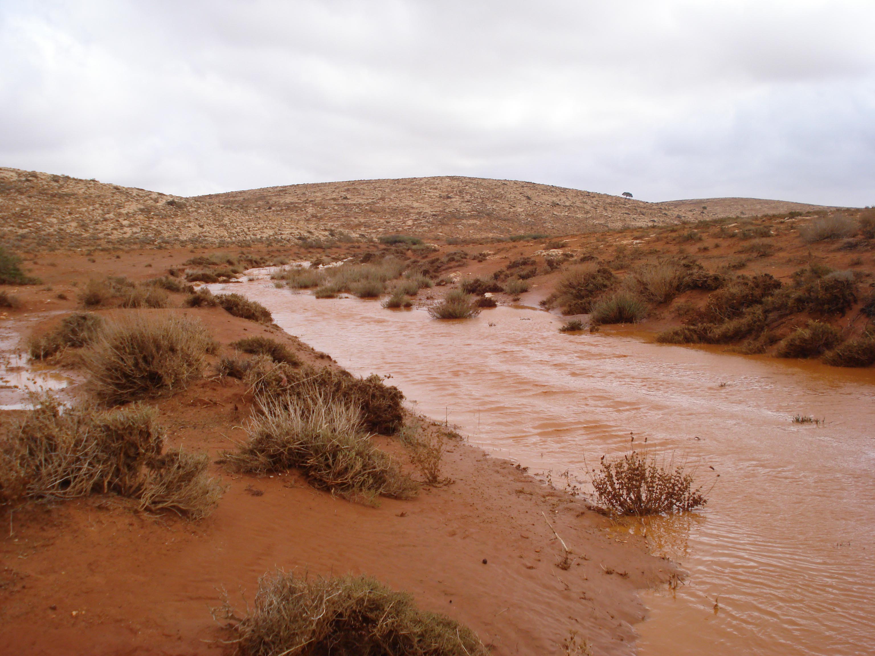
Flood Hazards
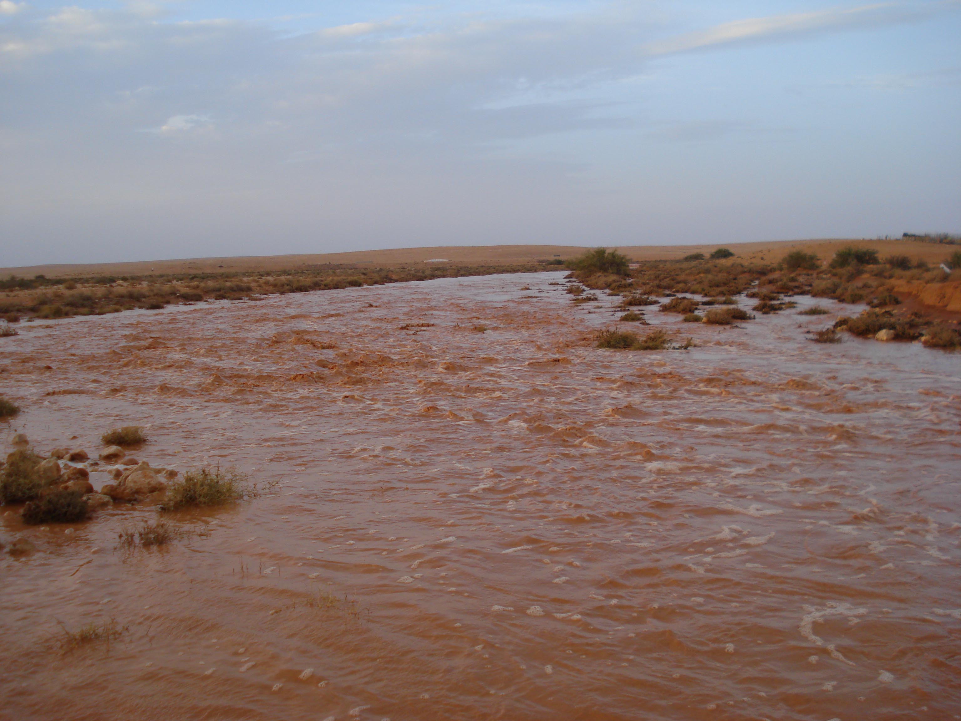
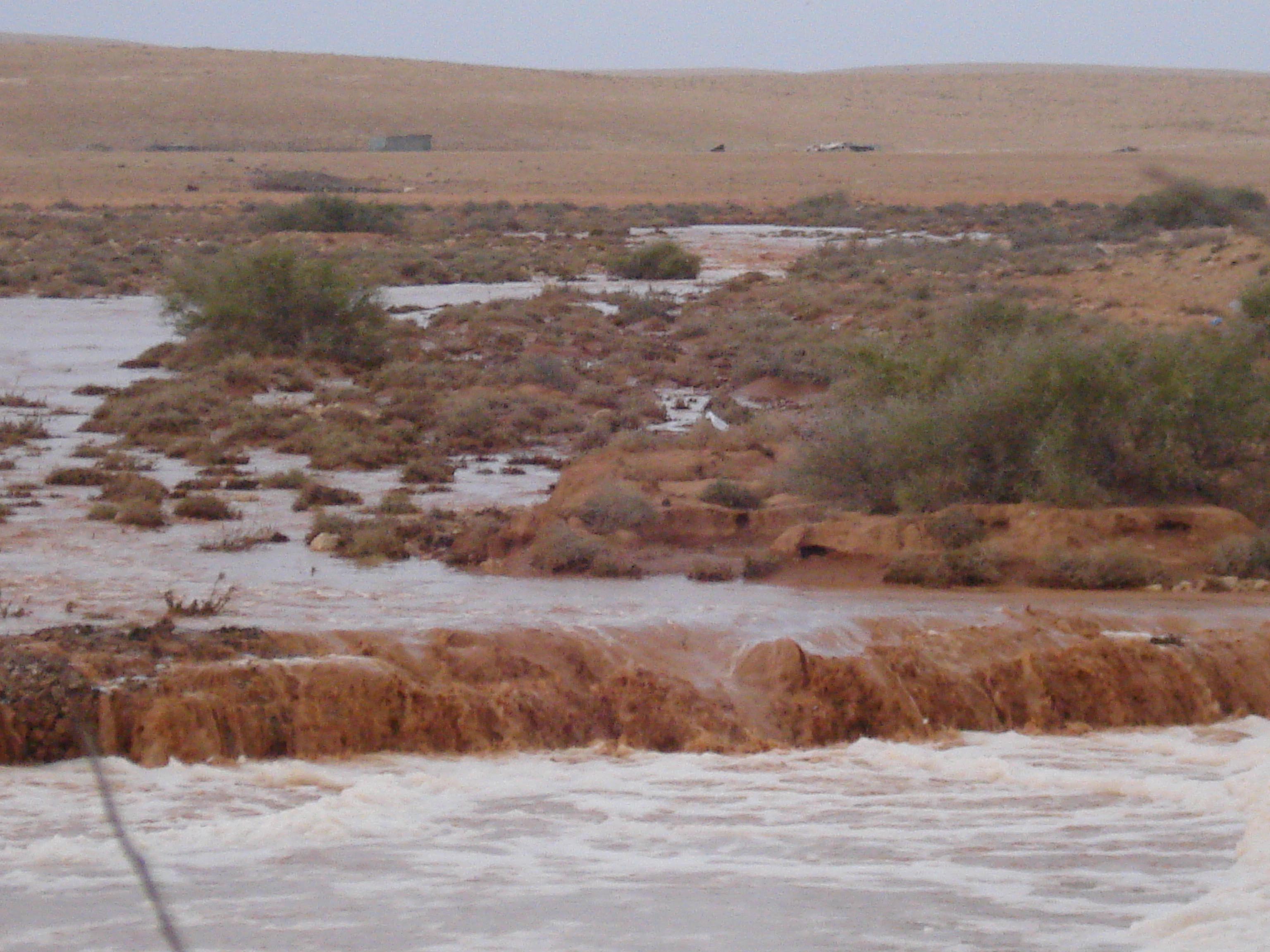
- Flash floods occur after heavy storms, particularly in wadis with compact drainage basins such as Thuban and Qlulud.
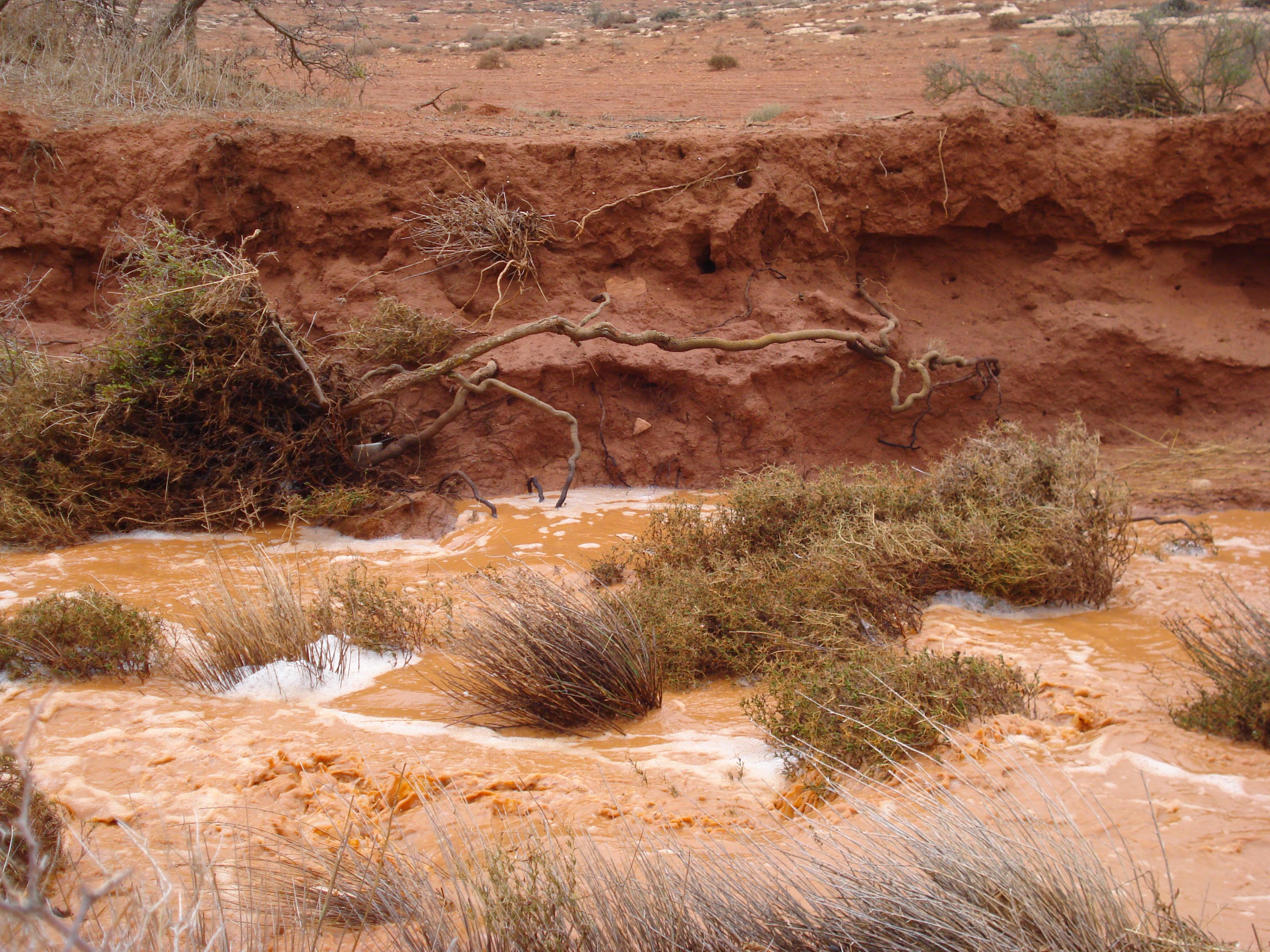
- Floodwaters carry large sediment loads, causing siltation in spreading zones and temporary lakes.
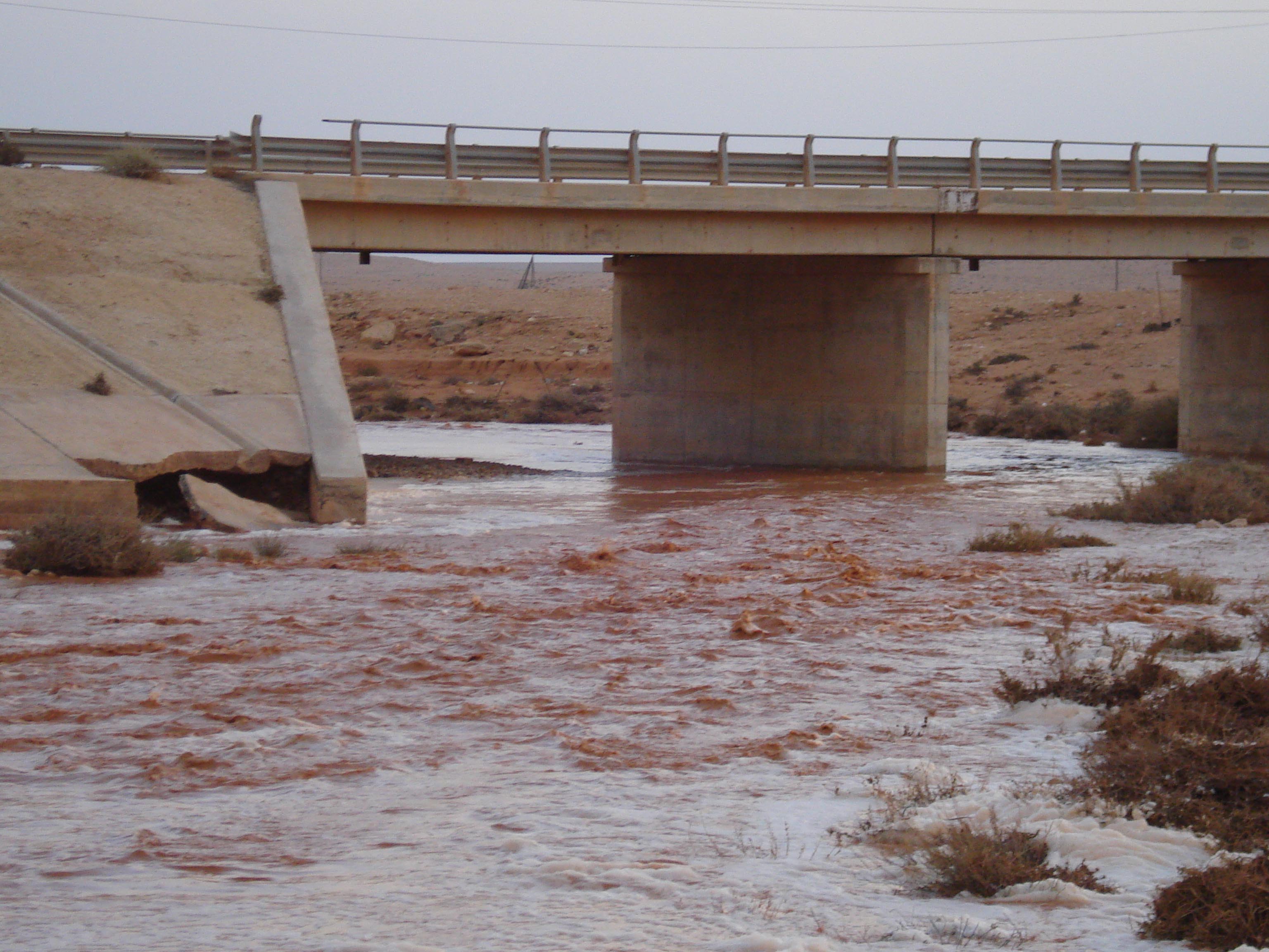
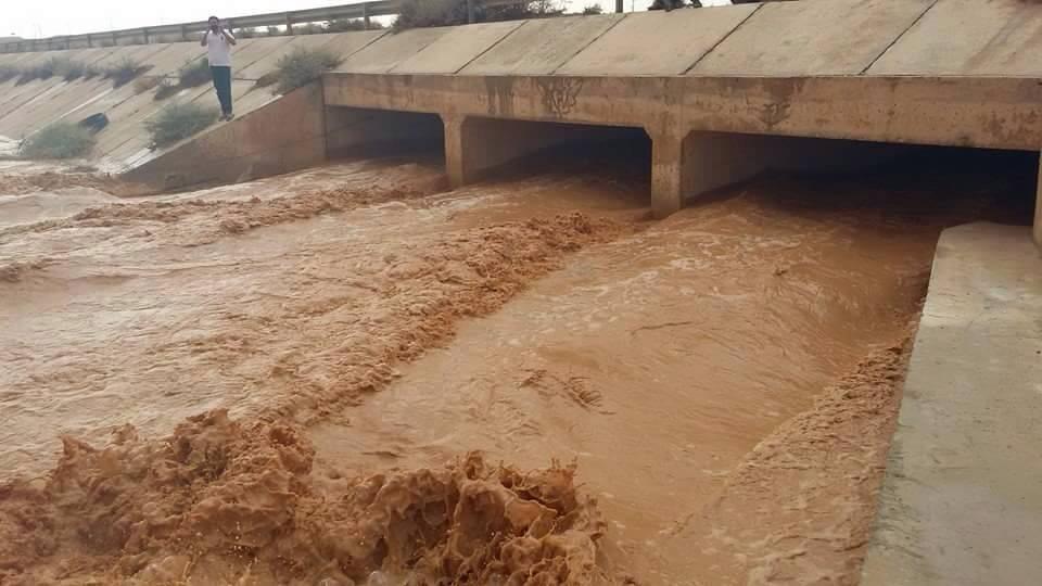
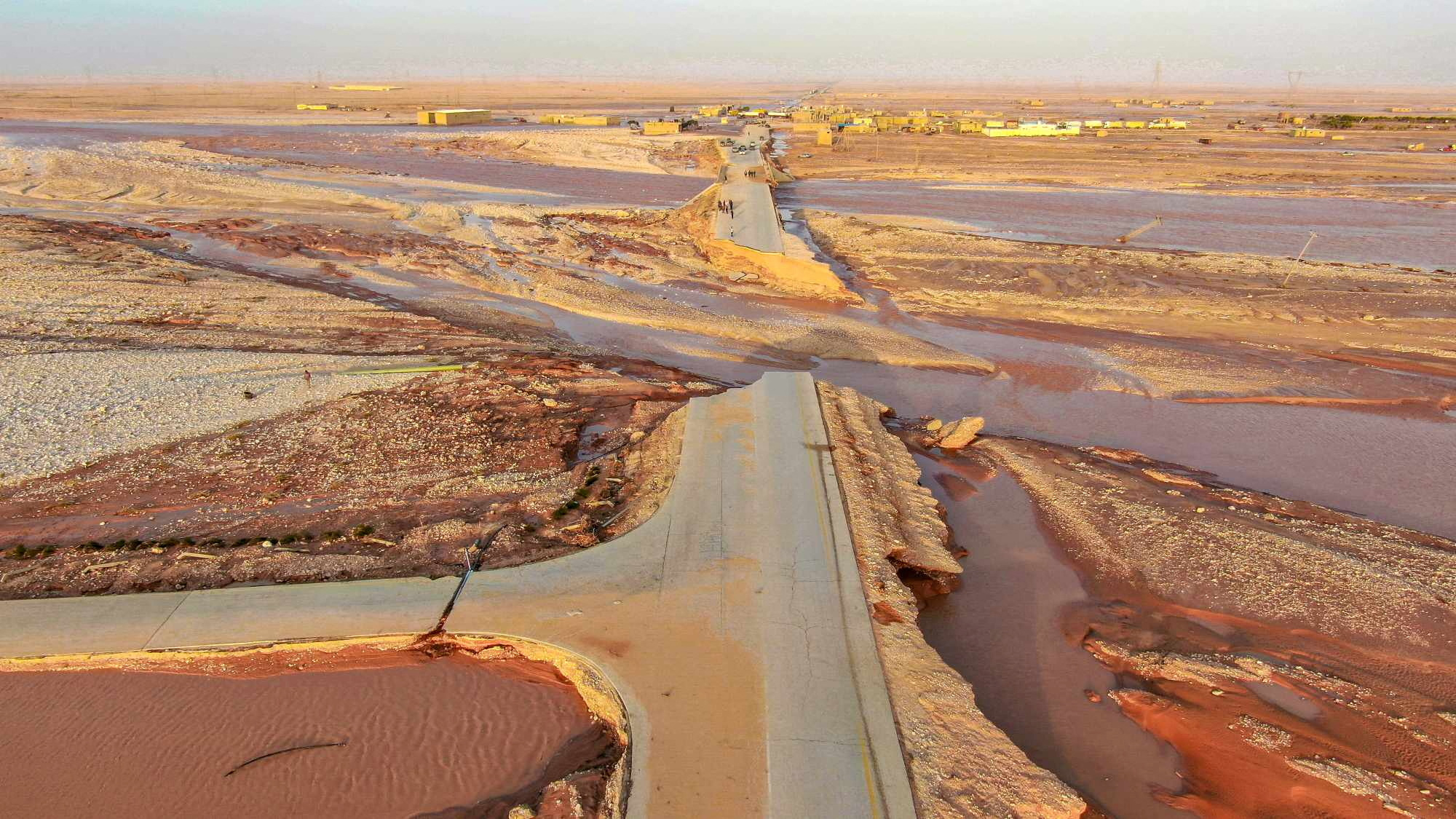
- Infrastructure and agricultural lands located in flood-prone valleys are at risk of inundation and erosion.
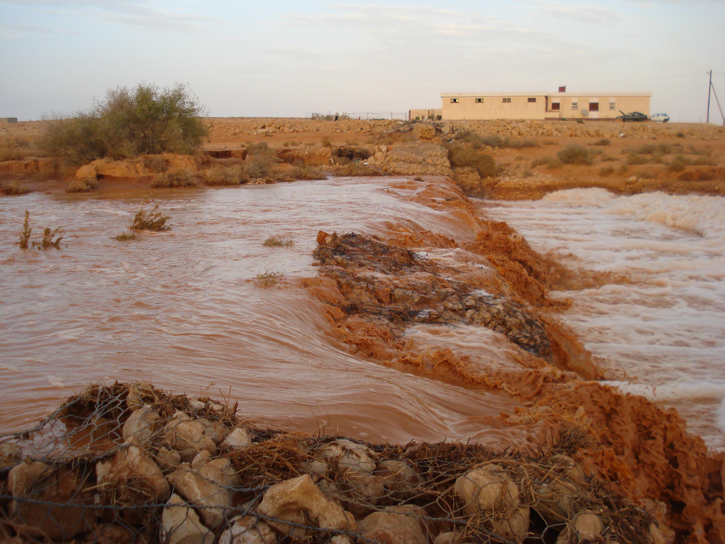
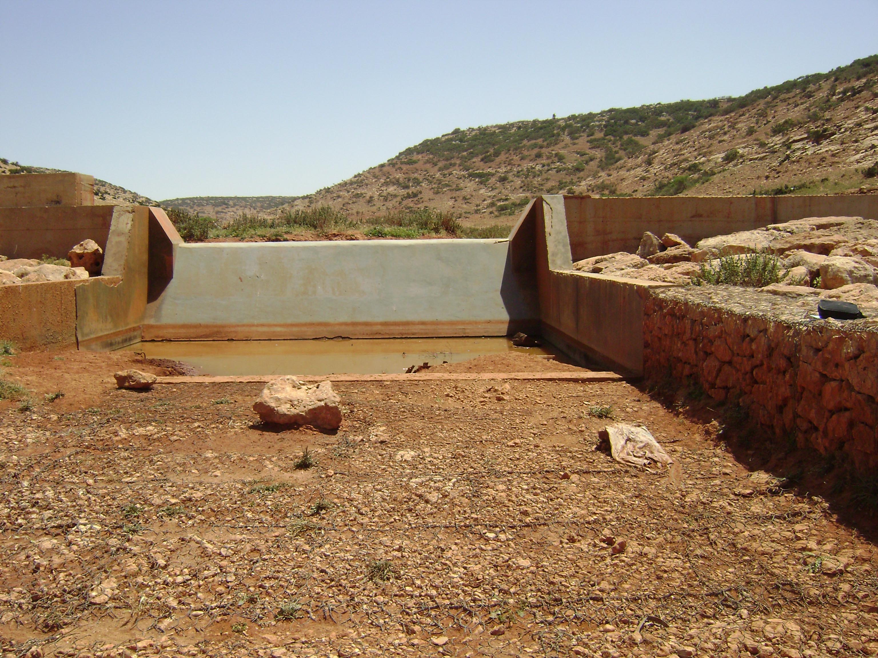
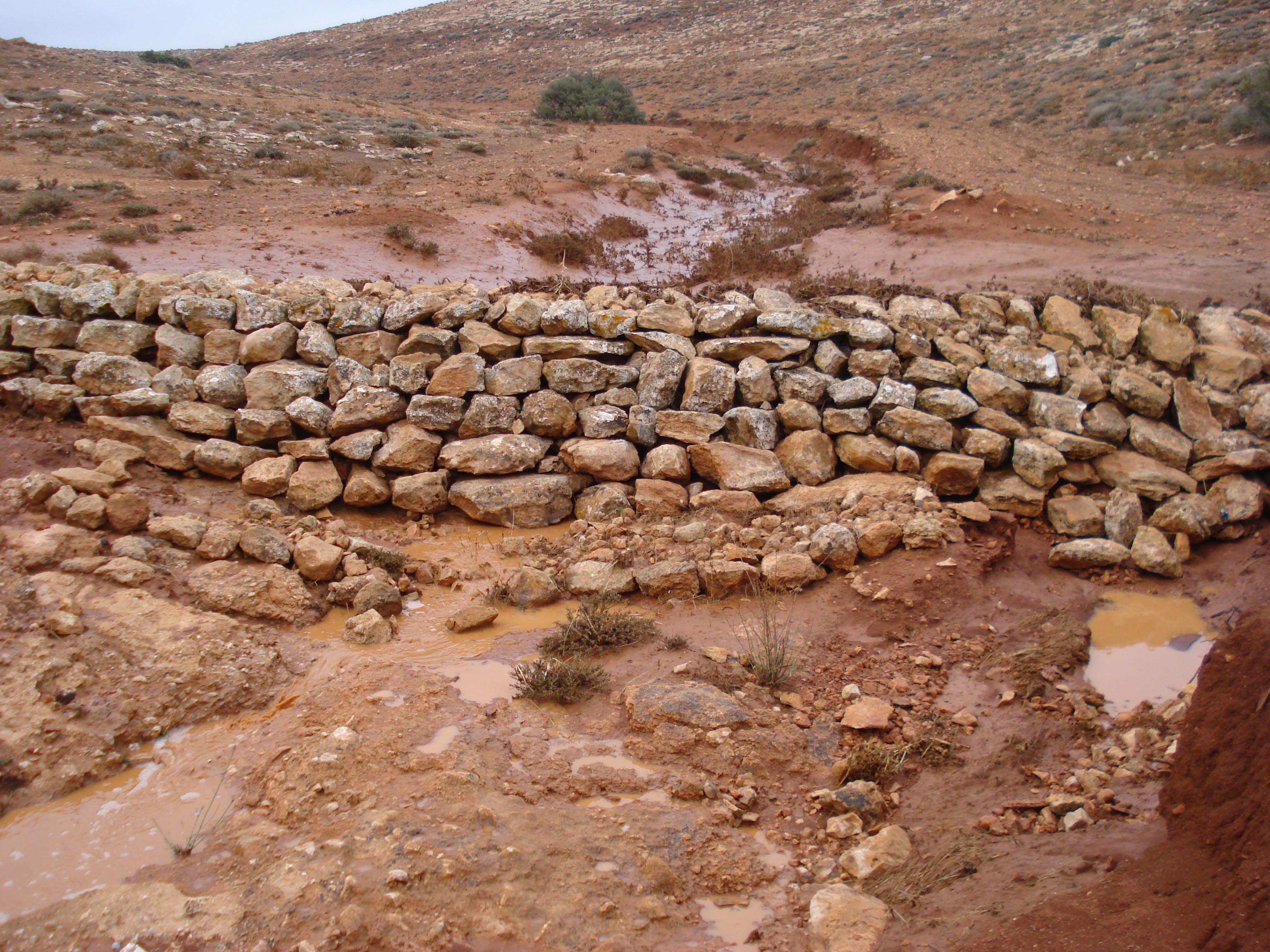
Flash floods in wadis and water spreading zones.
Water Harvesting Practices
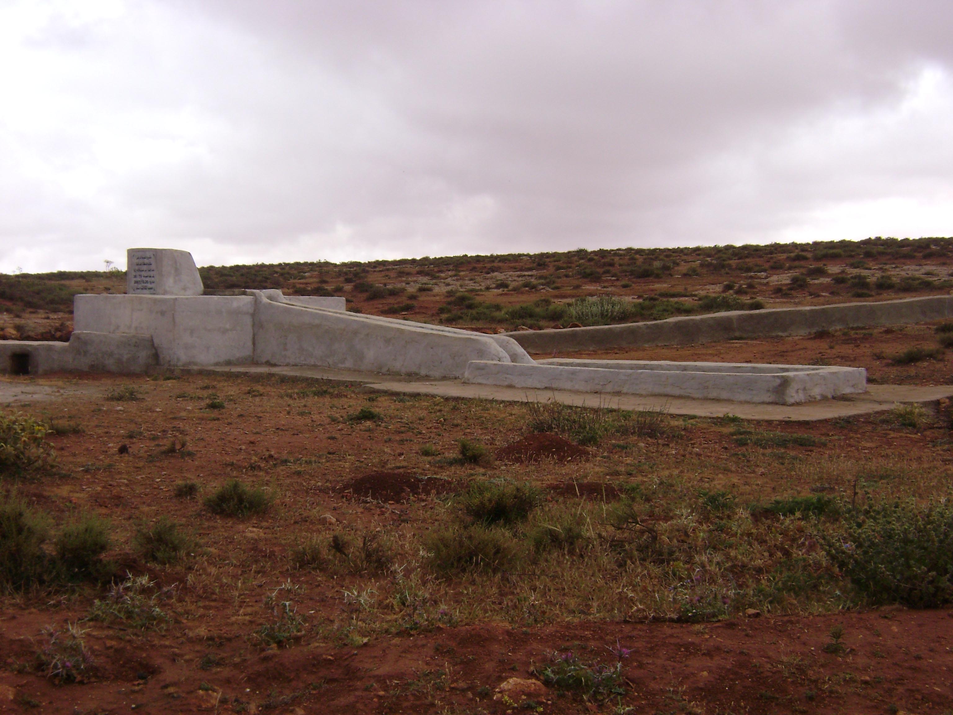
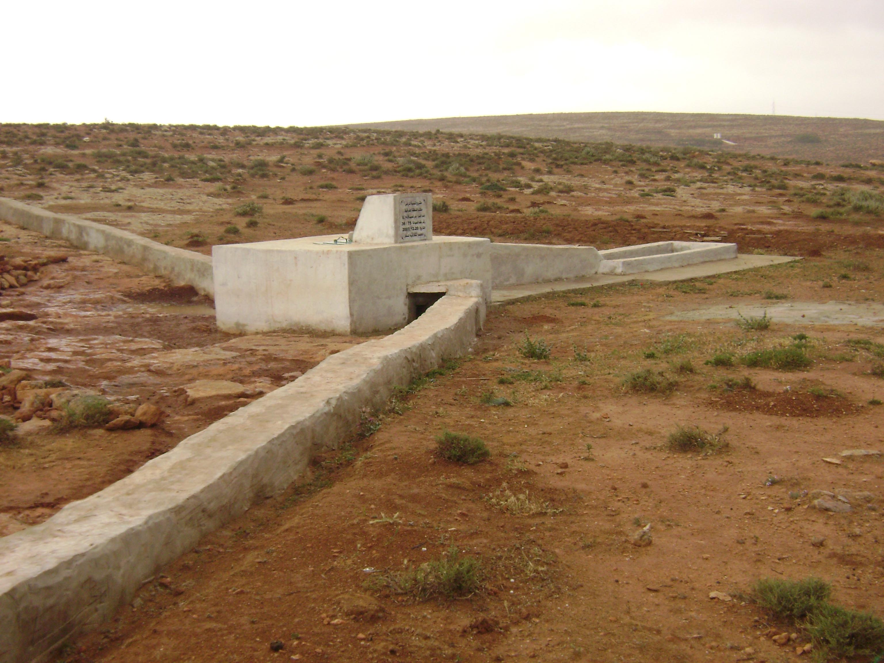
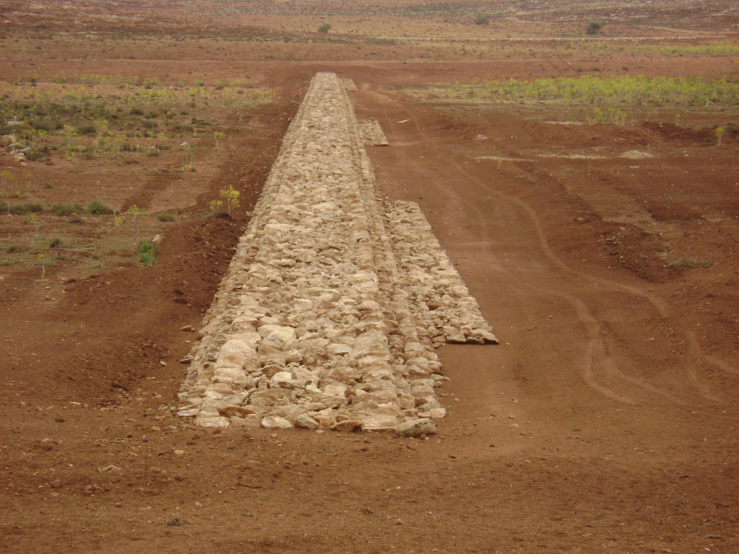
Traditional and modern water harvesting techniques are widely used to capture and store
runoff for local use. These include:
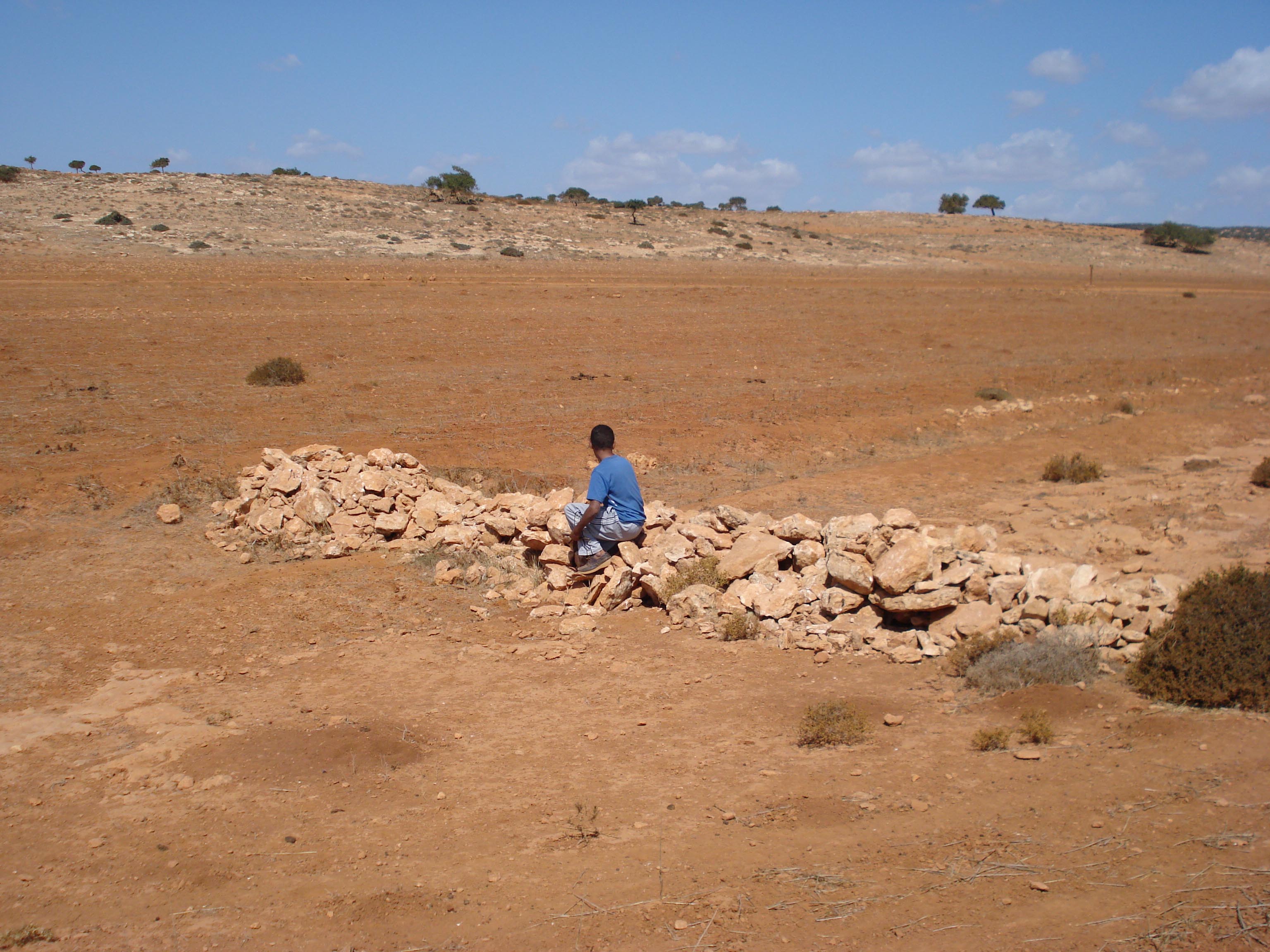
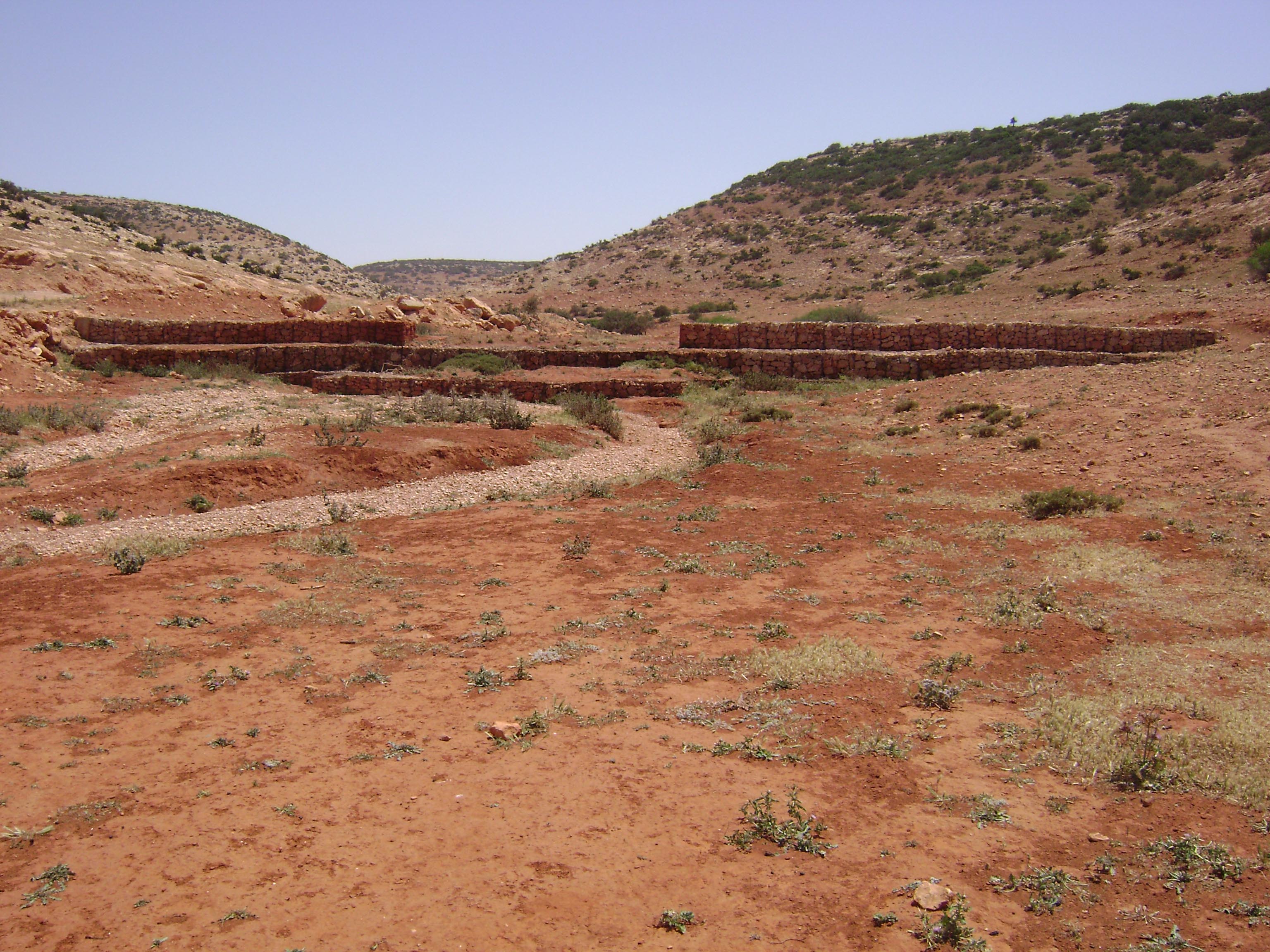
- Trenches – long, shallow excavations constructed across wadis to slow water flow and enhance infiltration.
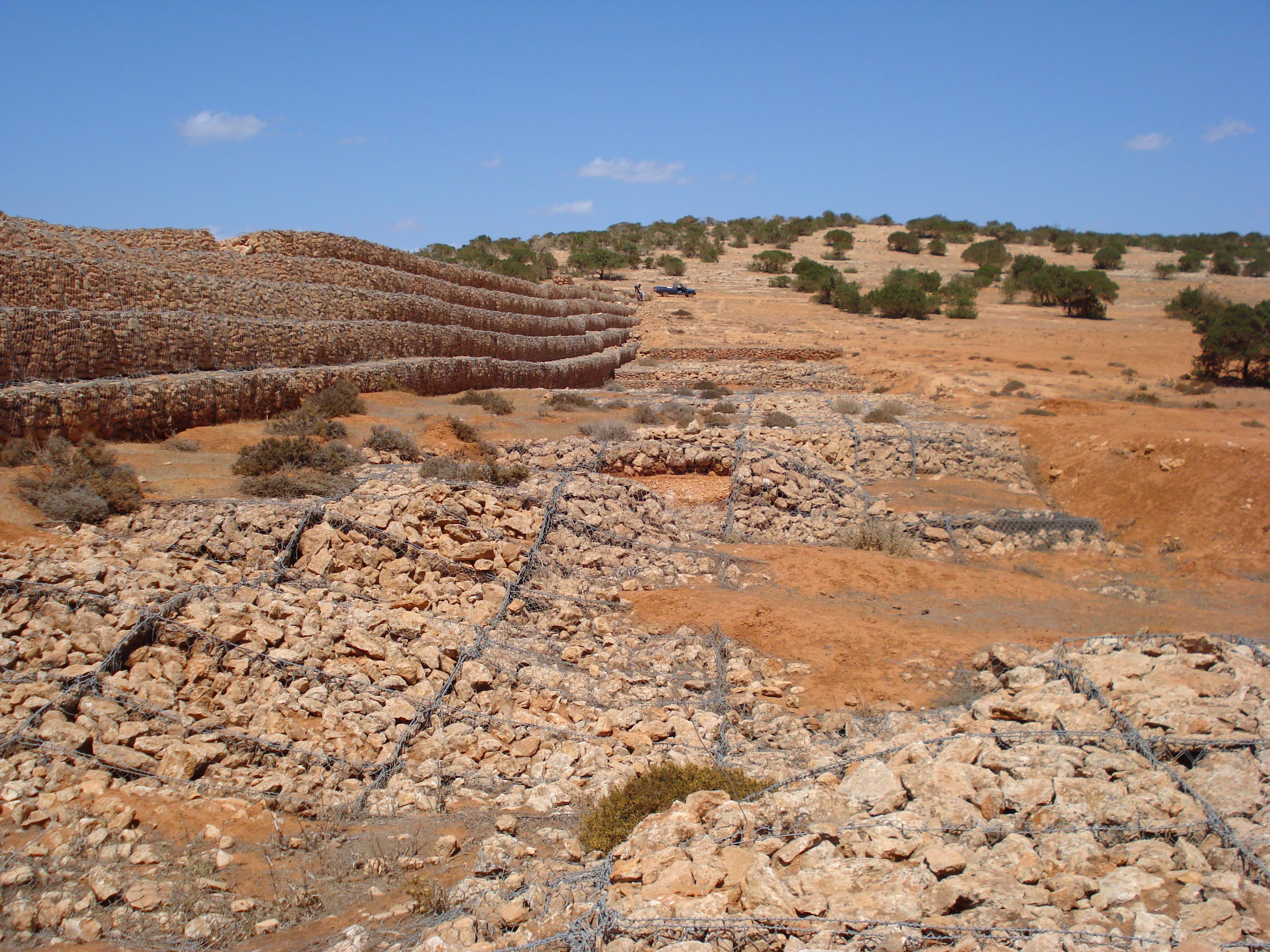
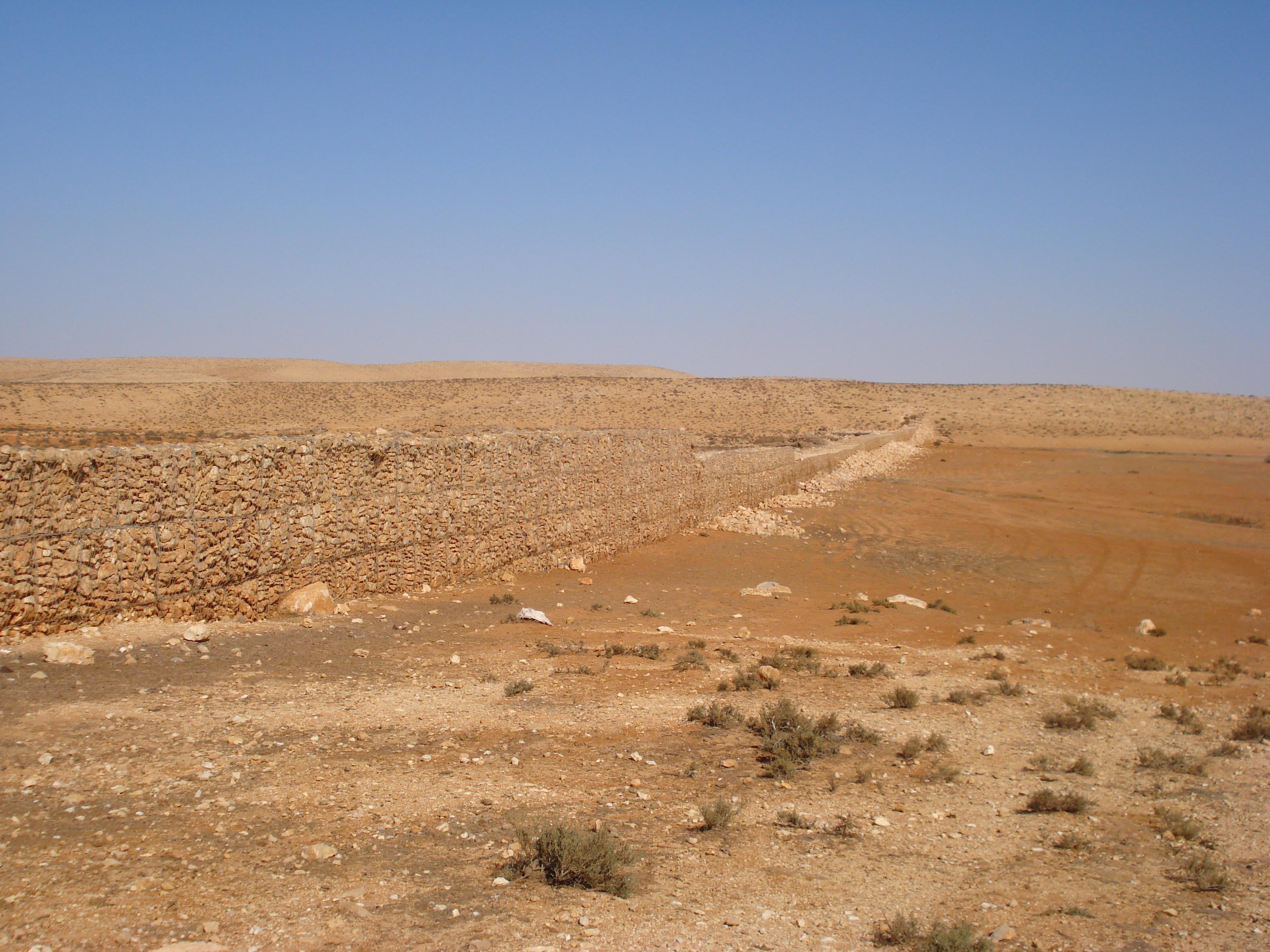
- Gabions – wire mesh structures filled with stones, installed across channels to reduce flow velocity and trap sediments.
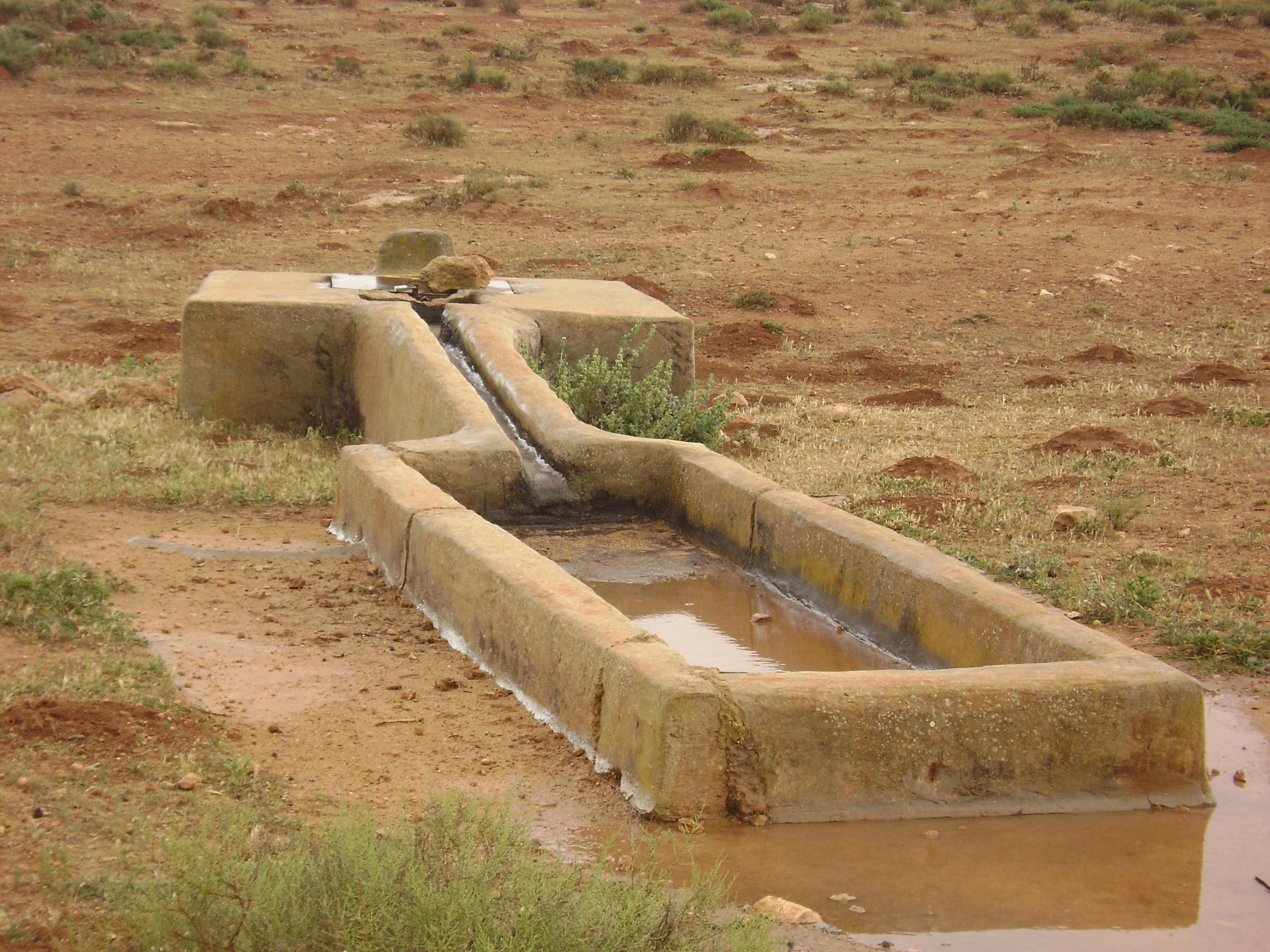
- Cisterns – underground storage tanks used to collect floodwater for domestic and agricultural use.
Water harvesting structures (cisterns and gabions).
Traditional and modern water harvesting structures in Al Jabal Al Akhdar.
Hydrological Importance
Floodwater harvesting plays a critical role in the region’s water security.
By capturing runoff in trenches, gabions, and cisterns, communities can mitigate
flood risks while improving groundwater recharge and securing water
for agriculture and livestock. These practices are especially important in the
southern basins, where rainfall is limited and aquifers are threatened by
salinity and over-extraction.